What is recorded here
In rough upland pasture, on steep W facing slope of Knocknascrow with good views to N. Circular-shaped area (diam. 18m) enclosed by well-preserved dry-stone wall (base Wth 0.9-1.1m; top Wth 0.35-0.45m; H 1.5-1.7m) with entrance gap (Wth 1.2m) at S. Enclosing wall stands to full height except at SSW where there is some collapse. Radial walls (L c. 11m; H 1.5m) extend outwards from E, S and W. These radial walls are not bonded to the cashel wall. Not depicted as an antiquity on Cassini ed. OSi 6-inch map where it is outlined as a circular-shaped feature. OSi designation may suggest a post-1700 date for the construction of this enclosure. See attached sketch plan of cashel.
In rough upland pasture, on steep W facing slope of Knocknascrow with good views to N. Circular-shaped area (diam. 18m) enclosed by well-preserved dry-stone wall (base Wth 0.9-1.1m; top Wth 0.35-0.45m; H 1.5-1.7m) with entrance gap (Wth 1.2m) at S. Enclosing wall stands to full height except at SSW where there is some collapse. Radial walls (L c. 11m; H 1.5m) extend outwards from E, S and W. These radial walls…
From the National Monuments Service (Archaeological Survey of Ireland) record LI058-003
The monument record does not grant public access. Check the route and ask the landowner before entering private land.
- What survives
- Recorded monument
Places near here
Hut site in KnocknascrowHut site · 493 ydHut site in Carrigeen MountainHut site · 941 ydEagles StepCliff · 1192 yd MonabrackMountain / peak · 1369 ydTemple HillMountain / peak · 1.7 miAssaroula WaterfallWaterfall · 2.0 miLoughananna HouseHouse, gate lodge · 2.2 miGalty CastleMill (water) · 2.5 miLough CurraWalking route · 3.5 miGlengarra WoodForest · 4.1 miGerman Service-tree4.3 miJohn MandevilleMemorial · 5.6 mi
 MonabrackMountain / peak · 1369 yd
.jpg/250px-Trig_point_on_Temple_Hill_with_view_towards_Knockmealdown_Mountains_(geograph_6008151).jpg "Photo: Colin Park, Wikimedia Commons · CC BY-SA 2.0") Temple HillMountain / peak · 1.7 miAssaroula WaterfallWaterfall · 2.0 mi
Temple HillMountain / peak · 1.7 miAssaroula WaterfallWaterfall · 2.0 mi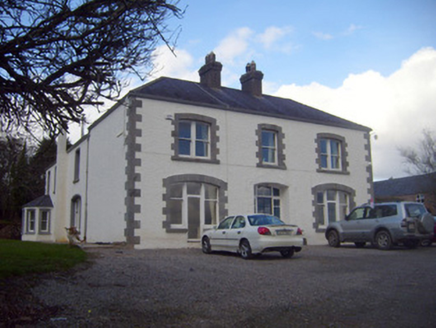 Loughananna HouseHouse, gate lodge · 2.2 mi
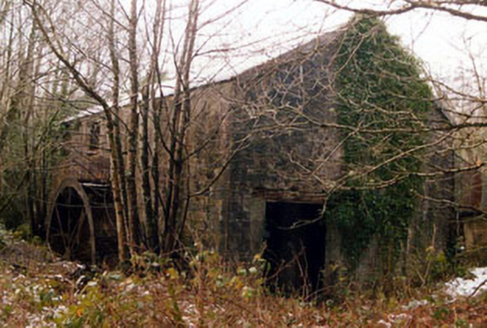 Galty CastleMill (water) · 2.5 mi
 Lough CurraWalking route · 3.5 mi
 Glengarra WoodForest · 4.1 mi
 German Service-tree4.3 mi
 John MandevilleMemorial · 5.6 mi
Pictures: Colin Park, Geograph · CC BY-SA 2.0; Colin Park, Wikimedia Commons · CC BY-SA 2.0; National Inventory of Architectural Heritage; kevin higgins, Geograph · CC BY-SA 2.0; Seighean ( talk ), Wikimedia Commons · Public domain; Ryan Hodnett, Wikimedia Commons · CC BY-SA 4.0; Neil Theasby, Geograph · CC BY-SA 2.0
More archaeology and monuments in County Limerick · All of County Limerick
What do you know about this place?