
What is recorded here
Rectangular hut-site aligned NE-SW on flat ground immediately S of Pigeonrock River (Coolatiny Stream) which forms townland boundary with Carrigeen Mountain. Listed as Knocknascrow 4 (Costello 2016, 308). Remains consist of a rectangular-shaped area (ext. dims. 7.8m x 4.6m; int. dims. 6.2m x 3m) enclosed by moss-covered earth and stone wall (avg. H 0.4m; avg. T 0.8m) with no entrance visible. A roughly rectangular-shaped annexe (ext. dims. 4.8m x 3.1m) with less substantial walls abut E side, as if sheltering an entrance in that wall (Costello 2016, 92).
See attached photographs courtesy of Dr. Eugene Costello
Compiled by: Dr Eugene Costello
Date of upload: 25 August 2020
The monument record does not grant public access. Check the route and ask the landowner before entering private land.
- What survives
- Recorded monument
Places near here
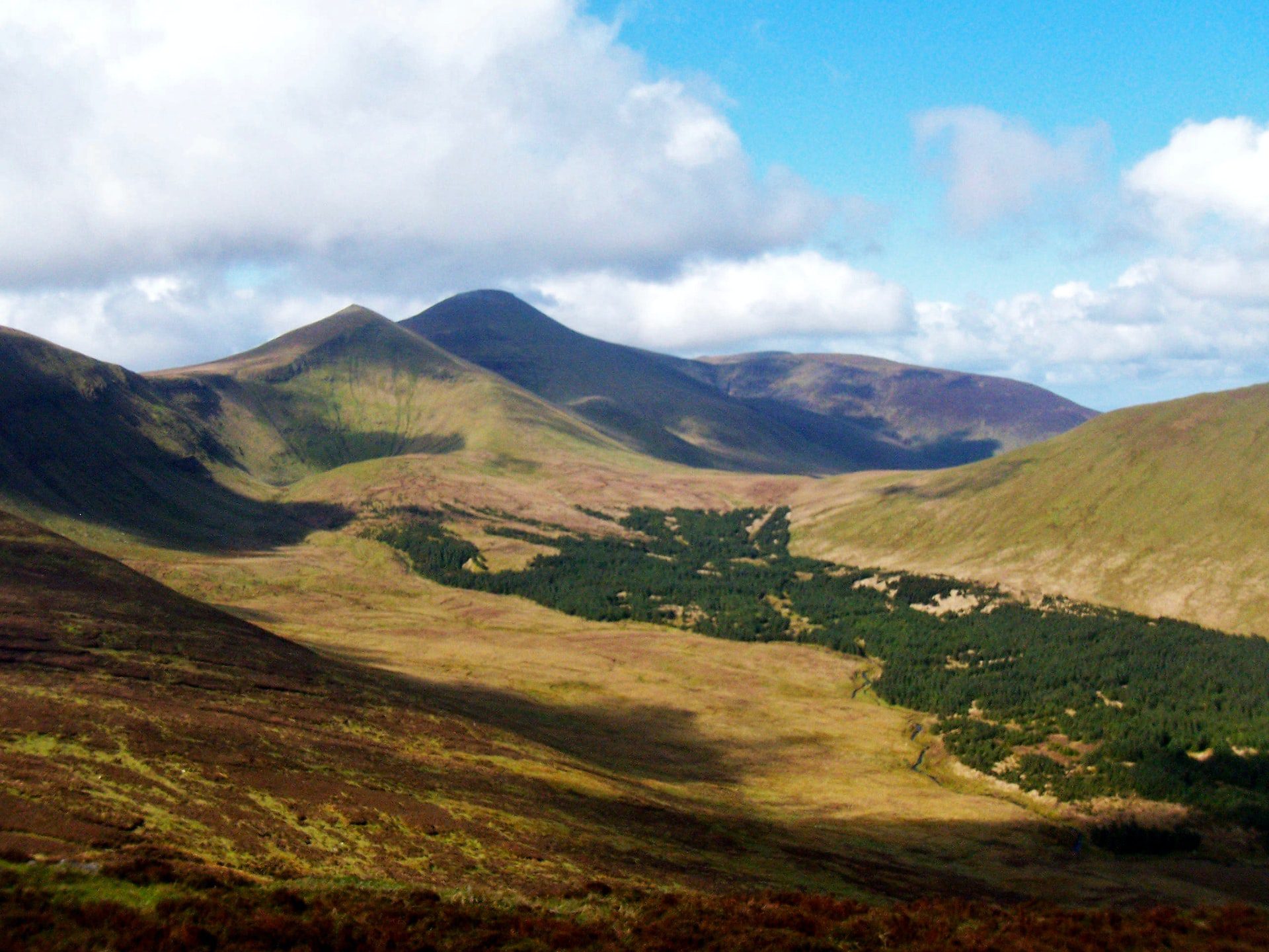 IndicatedFairy fort / stone ringfort · 493 yd
 OutlinedKiln, lime · 541 yd
 Eagles StepCliff · 1035 yd
 Hut site in Carrigeen MountainHut site · 1378 yd
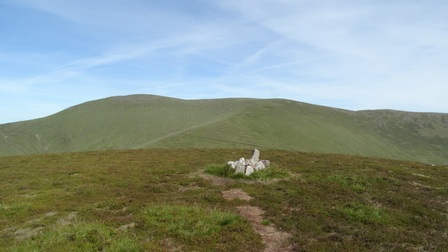 MonabrackMountain / peak · 1.1 mi
 Coopers WoodWood · 1.3 mi
 Temple HillMountain / peak · 1.7 mi
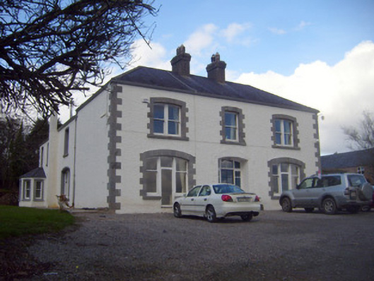 Loughananna Househouse, gate lodge · 2.0 mi
 Combaun WoodsViewpoint · 2.1 mi
 Assaroula WaterfallWaterfall · 2.2 mi
 Aircraft Memorial 1976Memorial · 2.6 mi
 Noel's NippleNamed rock · 3.5 mi
Other information
Photo: Credit not shown in the picture search · Rights wording not checked; contact us if this picture should be removed