What is recorded here
In centre of modern coniferous plantation. Remains consist of a crescent-shaped flat-topped earth and stone mound (dims. 4.4m N-S x 1.4m E-W; base dims 8.1m N-S x 8.4m E-W; H 2m) with opening to W. Has the appearance of a small mound that has been quarried into at W. Depicted as a lime-kiln on 1840 ed. OSi 6-inch map. Mound appears to be the collapsed remains of this lime-kiln.
See attached sketch plan and Google Earth orthoimages
Compiled by: Caimin O'Brien
Date of upload: 26 October 2021
The monument record does not grant public access. Check the route and ask the landowner before entering private land.
- What survives
- Recorded monument
Places near here
 Coopers WoodWood · 1218 yd
 Hut site in KnocknascrowHut site · 1461 yd
 OutlinedKiln, lime · 1601 yd
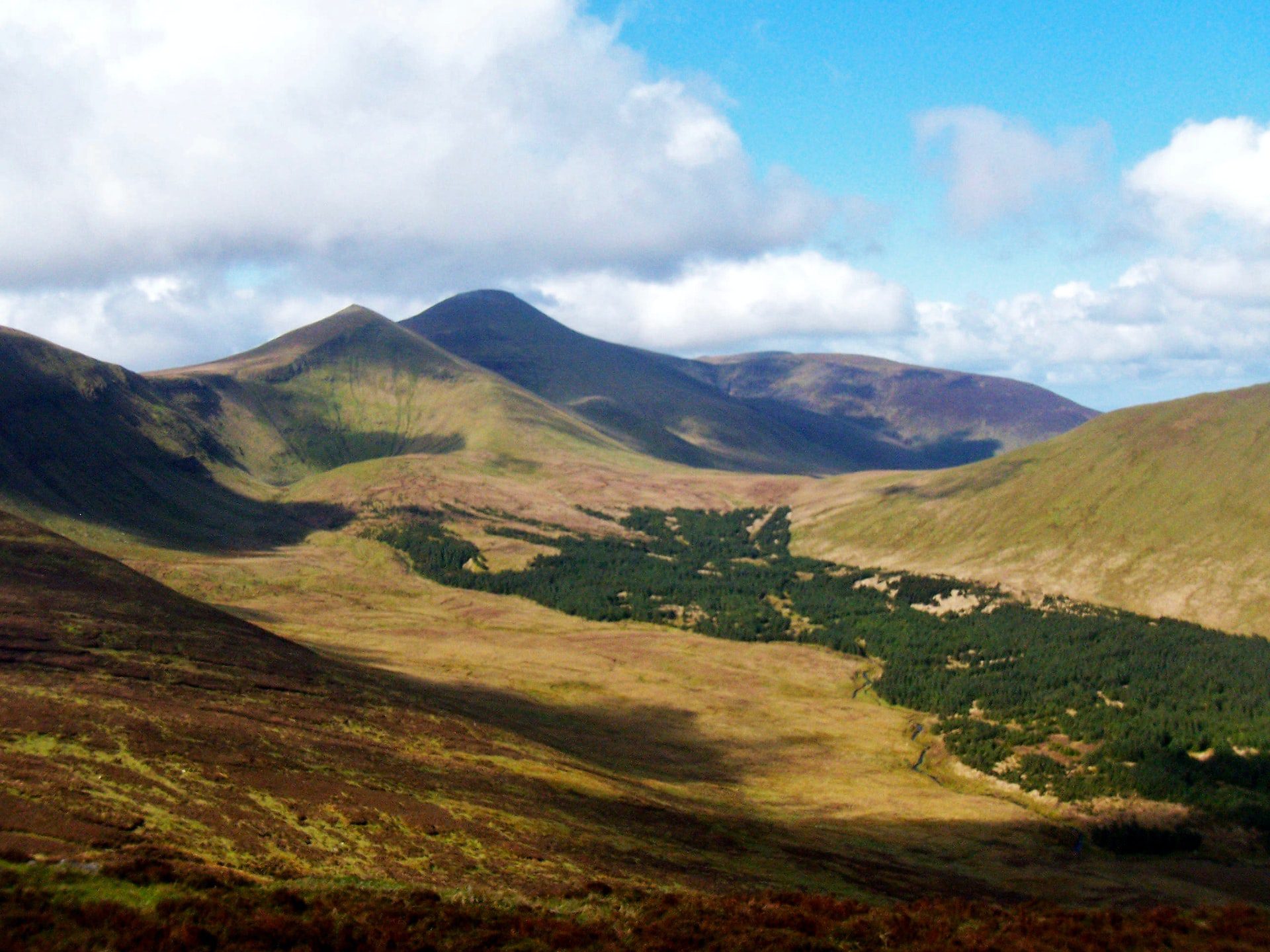 IndicatedFairy fort / stone ringfort · 1706 yd
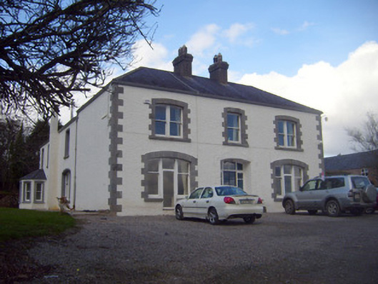 Loughananna Househouse, gate lodge · 1.2 mi
 Eagles StepCliff · 1.4 mi
 Seefin North TopMountain / peak · 1.4 mi
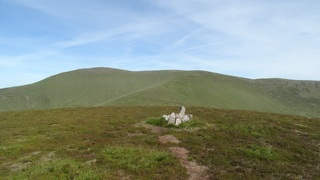 MonabrackMountain / peak · 1.6 mi
 Kilbeheny Castle (in ruins)Castle, tower house · 2.2 mi
 Aircraft Memorial 1976Memorial · 2.4 mi
 Combaun WoodsViewpoint · 2.8 mi
 Assaroula WaterfallWaterfall · 3.0 mi