
What is recorded here
Internal diam. 23.3m. A subcircular area enclosed by a collapsed stone wall up to 1.5m in height and spreading in some places over 8m in width. The wall has disappeared along the SW sector but its outline can still be traced. Evidence for a fosse can be detected on the W side. There is a gap 2m wide to ESE and another to the NW. The interior is uneven. It is situated on the ridge of a rocky plateau surrounded by rough pasture and some steep drops.
The above description was derived from the 'Archaeological Survey of County Donegal. A description of the field antiquities of the County from the Mesolithic Period to the 17th century.' Compiled by: Brian Lacey with Eamon Cody, Claire Cotter, Judy Cuppage, Noel Dunne, Vincent Hurley, Celie O'Rahilly, Paul Walsh and Seán Ó Nualláin (Lifford: Donegal County Council, 1983). In certain instances the entries have been revised and updated.
Date of upload: 22 September 2008
The monument record does not grant public access. Check the route and ask the landowner before entering private land.
- What survives
- Recorded monument
Places near here
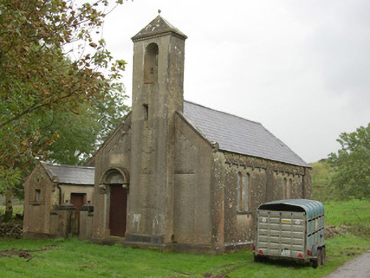 Carricknahorna Orange HallOrange Hall · 204 yd
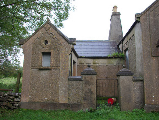 Carricknahorna Masonic HallOrange Hall, masonic lodge/hall · 210 yd
 Carricknahorna Low-Banked EnclosureEnclosure · 289 yd
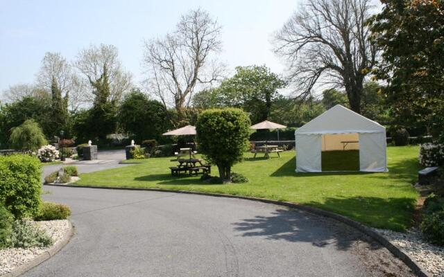 Enclosure in Tober (cavangarden Ed)Enclosure · 1227 yd
 HawthornHawthorn · 1.7 mi
 Castle (Site of)Castle, unclassified · 2.8 mi
 Castle in ruinsCastle, unclassified · 3.8 mi
 Belleek Pottery MuseumMuseum · 4.1 mi
 Belleek PotteryHeritage attraction · 4.1 mi
 St Anne's Church GraveyardGraveyard · 4.6 mi
 MurvaghOfficial bathing water · 5.4 mi
 RSPB Lower Lough Erne IslandsNature reserve · 5.6 mi
Other information
Photo: Credit not shown in the picture search · Rights wording not checked; contact us if this picture should be removed