What is recorded here
In pasture, on the E edge of narrow terrace. Carricknagat cashel (SL020-198001-) is incorporated into the NE quadrant of a large oval field (int. diam. c. 50m E-W; c. 40m N-S) which is defined by collapsed stone wall. A 30m stretch of the field wall has been removed at NW, an 11m section has similarily been removed from the NW arc of the cashel. About 30m to E of the cashel is a D-shaped field (int. dims.: straight side c. 65m ESE-WNW; c. 60m NNE-SSW;) also defined by a collapsed stone wall. Further to E, several small more regular fields, indicated on the 1913 edition of the OS 6-inch map, have been levelled.
Compiled by: Archaeological Survey Unit, UCC with revisions by Patrick F. O'Donovan and Paul Walsh
Date of upload: 20 June 2011
This remains an important historical record, but the official description says the monument is no longer visible or has been destroyed. The monument record does not grant public access. Check the route and ask the landowner before entering private land.
- What survives
- No visible remains or recorded as destroyed
Places near here
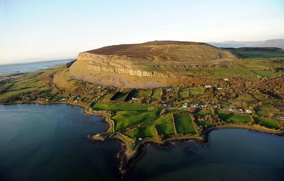 IndicatedFairy fort / stone ringfort · 15 yd
 Battle of Collooneybattle · 833 yd
 Teeling MonumentMemorial · 860 yd
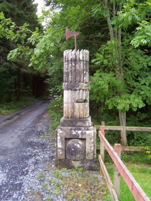 Beehive Lodgegates/railings/walls · 934 yd
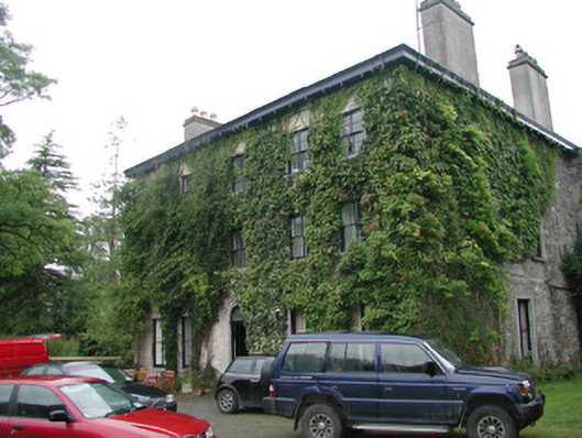 Camphill Househouse · 1255 yd
 Enclosure in BleachgreenEnclosure · 1410 yd
 Union RockForest · 1675 yd
 BunreecoillMountain / peak · 1.1 mi
 SlievewardMountain / peak · 1.4 mi
 CastleCastle, unclassified · 1.4 mi
 European ashEuropean ash · 1.6 mi
 Castle (Site of)Castle, unclassified · 2.3 mi