What is recorded here
Indicated as a circular embanked enclosure (ext. diam. c. 35m) on the 1835 ed. of the OS 6-inch map, it is situated in an area of scrub and rock outcrop towards the bottom of the NW-facing slope of a drumlin. It is not visible at ground level in rough pasture. Moore (Dublin: Stationery Office, 2003).
From the National Monuments Service (Archaeological Survey of Ireland) record LE011-010
The monument record does not grant public access. Check the route and ask the landowner before entering private land.
- What survives
- Recorded monument
Places near here
Giants RockNamed rock · 88 ydEcclesiastical enclosure in CloonclareEcclesiastical enclosure · 1460 yd The RectoryRectory/glebe/vicarage/curate's house · 1.0 mimill (water)1.0 miManorhamilton CastleCastle · 1.1 miIndicatedBastioned fort · 1.2 miBenboMountain / peak · 1.5 miThe Giants GraveArchaeological place · 1.7 miAshisland WoodForest · 2.8 miCastle CarCastle · 2.9 miLonghill WoodForest · 2.9 miSaddle HillMountain / peak · 4.7 mi
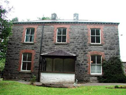 The RectoryRectory/glebe/vicarage/curate's house · 1.0 mi
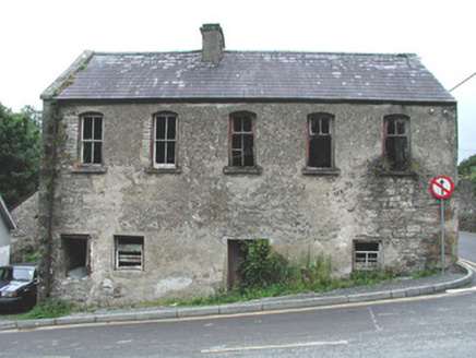 mill (water)1.0 mi
 Manorhamilton CastleCastle · 1.1 mi
 IndicatedBastioned fort · 1.2 mi
 BenboMountain / peak · 1.5 miThe Giants GraveArchaeological place · 1.7 miAshisland WoodForest · 2.8 miCastle CarCastle · 2.9 miLonghill WoodForest · 2.9 mi
 Saddle HillMountain / peak · 4.7 mi
Pictures: National Inventory of Architectural Heritage; Kenneth Allen, Wikimedia Commons · CC BY-SA 2.0; John M, Geograph · Creative Commons Attribution-ShareAlike 2.0; Richard Webb, Wikimedia Commons · CC BY-SA 2.0; Richard Webb, Geograph · CC BY-SA 2.0
More archaeology and monuments in County Leitrim · All of County Leitrim
What do you know about this place?