
What is recorded here
In undulating pasture, on top of a ridge with excellent views of the surrounding countryside. Named 'The Cashel' on the 19 OS 6-inch map, this hilltop enclosure, consists of an oval area (65m N-S; 50m E-W) enclosed by a stone wall. The wall, which is highest along the W arc (T 0.6m; H 1.3m), has a rubble core with a facing of stone. Condit, Gibbons and Timoney (1991, 61-2) suggest that a gap through the wall at S may be the original entrance. The interior rises towards the centre. A field boundary indicated on the 1838 OS 6-inch map bisecting the interior on a NW-SE axis, was not indicated on the 1913 OS 6-inch map. A rath (SL026-140----) lies c. 190m to SSE.
The above description is derived from the published 'Archaeological Inventory of County Sligo' compiled by Ursula Egan, Elizabeth Byrne, Mary Sleeman with Sheila Ronan and Connie Murphy (Dublin Stationery Office, 2005). In certain instances the entries have been revised and updated.
Date of upload: 18 January 2008
A local fairy fort (ringfort/rath); wider significance not recorded.
The monument record does not grant public access. Check the route and ask the landowner before entering private land.
- What survives
- Recorded monument
Places near here
 Man-made underground passage in CarrickbanagherMan-made underground passage · 255 yd
 LisaneenaFairy fort / earthen ringfort · 1452 yd
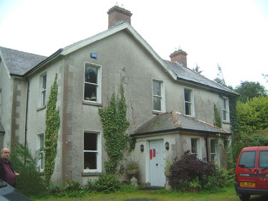 Heathfield Househouse · 1.3 mi
 Lisconny Bridgebridge · 1.9 mi
 Castle (Site of)Castle, unclassified · 1.9 mi
 James MorrisonMemorial · 2.0 mi
 Behy Castle (in Ruins)Castle, tower house · 2.8 mi
 ElderElder · 3.9 mi
 Riverstown Folk ParkHeritage attraction · 4.0 mi
 European ashEuropean ash · 4.1 mi
 Giants GraveArchaeological place · 5.2 mi
 School CaveCave · 5.4 mi
Other information
Photo: Credit not shown in the picture search · Rights wording not checked; contact us if this picture should be removed