
What is recorded here
Situated on the W-facing slope of a broad NW-SE ridge. It is depicted as a circular enclosure (diam. c. 35m) with trees on the perimeter on the 1834 edition of the OS 6-inch map where it is described in gothic lettering a ‘fort’ and as a circular field on the 1907 edition. This is a circular grass-covered area (diam. 30m N-S; 29m E-W) defined by a stone-faced earthen bank (at NW: Wth of base 3m; int. H 1m; ext. H 1.6m) and hedge SSW-NW-NE. There is no visible fosse or entrance and the bank NE-SSW was removed c. 1955 but its line is visible.
The above description is derived from the published 'Archaeological Inventory of County Monaghan' (Dublin: Stationery Office, 1986). In certain instances the entries have been revised and updated in the light of recent research.
Compiled by: Michael Moore
Date of revision: 26 February 2018
The monument record does not grant public access. Check the route and ask the landowner before entering private land.
- What survives
- Recorded monument
Places near here
 Not iindicatedHut site · 1309 yd
 Not indicaetdCrannog · 1.1 mi
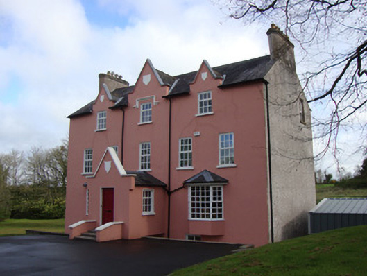 Glebe Houserectory/glebe/vicarage/curate's house · 1.6 mi
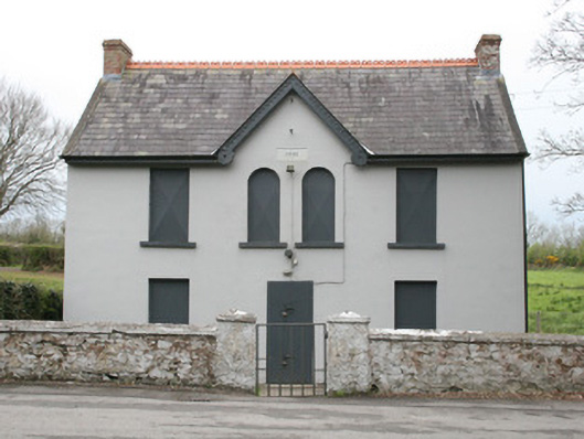 Clontibret Orange HallOfficially recorded historic building · 1.7 mi
 Battle of ClontibretBattlefield · 2.4 mi
 Fort HillWood · 3.8 mi
 Monaghan WayWalking route · 4.0 mi
 Castleshane WaterfallWaterfall · 4.3 mi
 Knockamaddy Big WoodWood · 4.5 mi
 John Francis GreenMemorial · 4.9 mi
 The CrescentMemorial · 5.1 mi
 Bawn in OnomyBawn · 5.6 mi
Other information
Photo: Credit not shown in the picture search · Rights wording not checked; contact us if this picture should be removed