What is recorded here
In pasture in undulating terrain, located on top of a hill lying between two streams, one flowing N into Lough Doo, which is 200m to WNW, and the other flowing N into Ballymore Lough, which is 350m to N. The location provides good views, with the Ox Mountains on the horizon to E.
Slightly raised circular area (27.5m E−W; 27.2m N−S) enclosed by a bank of earth and stone. The bank (Wth 2.3m at W, 3.4m at E; int. H 0.6m at W, 0.7m at E; ext. H 0.6m at W, 1m at E) is faced with stone on the internal and external faces, with large boulders also set against the external face; the stone facing may of relatively recent date.
The interior is level, but with a slight dip in the SE quadrant. There are slight traces of what may be cultivation ridges on a NNW−SSE axis. A number of boulders break the surface.
The original entrance is not obvious: There is a low area (Wth 2.6m), but not a clearly defined gap, at E, and another low area (Wth 3-4m), now blocked by field clearance boulders, at SE.
This rath was tightly boxed in by field walls in the past, probably in the 19th-century; these walls are extant on the W and N, but have been removed on E and S.
Blackthorn and hawthorn grow on the perimeter.
Compiled by: Jane O’Shaughnessy
Date of upload: 12 June 2020
The monument record does not grant public access. Check the route and ask the landowner before entering private land.
- What survives
- Recorded monument
Places near here
 Catholic Church of the Immaculate Conception and Saint Josephchurch/chapel · 671 yd
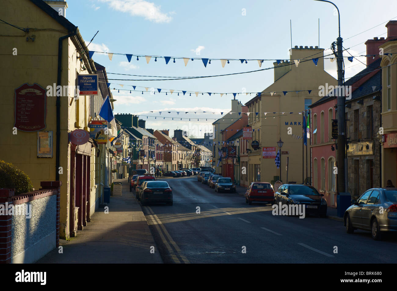 IndicatedFairy fort / earthen ringfort · 956 yd
 Burial GroundEnclosure · 1225 yd
 farm housefarm house · 1678 yd
 Castle (in ruins)Castle, unclassified · 3.1 mi
 Gull IslandIslet · 3.8 mi
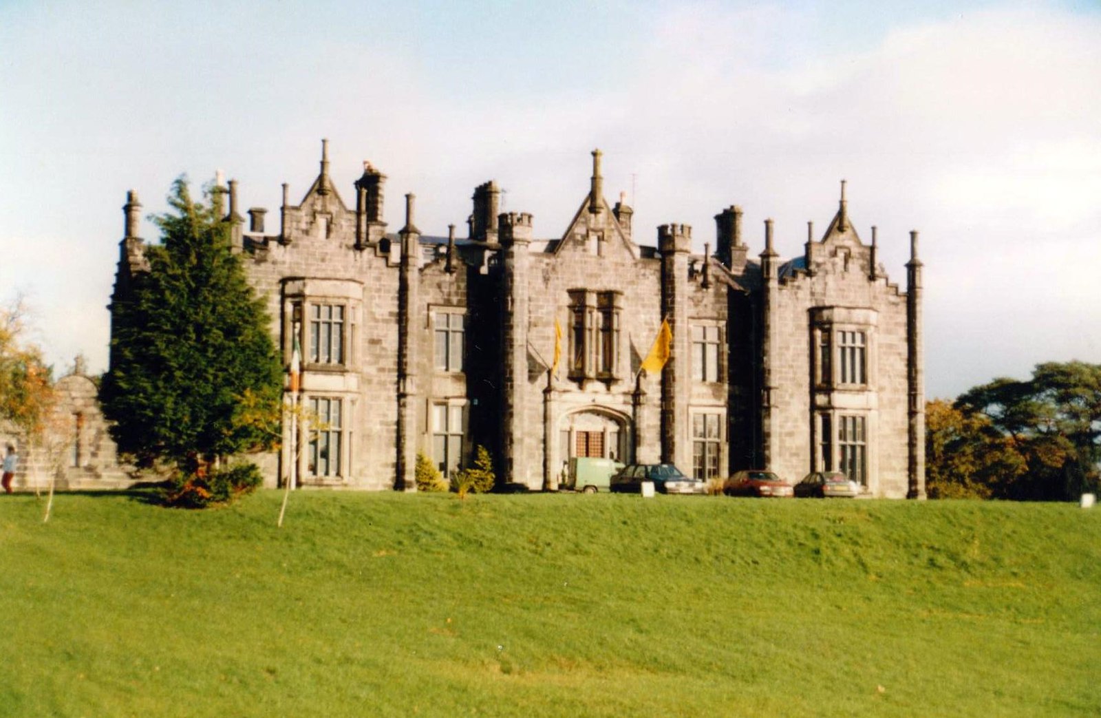 CastleCastle, unclassified · 4.6 mi
 Foxford Woollen MillsHeritage attraction · 4.7 mi
 Admiral William BrownMemorial · 4.7 mi
 Drummin ForestForest · 4.9 mi
 Lough CullinViewpoint · 5.3 mi
 Humbert MonumentMemorial · 5.3 mi