What is recorded here
Indicated is a hilltop enclosure in County Mayo where a two-metre earthen bank still circles a broad pasture space. The surrounding region has long shaped human memory through its visible landmarks and open terrain. The site preserves that older presence because the bank and interior features remain distinguishable in the landscape.
In pasture, on hilltop. Earthen bank (H 2.1m), levelled NE to S, with internal fosse, on SW and NW to N, enclosing circular-shaped area (diam 142m N-S). Enclosing element shown intact on OS map (1838). Bank overlain on S by stone field boundary. Interior contains cairn (MA117-042001-). Possible standing stone (H 0.6m) inside bank to SW. Old field walls ran through interior of site.
The above description has been derived from D. Lavelle (compiler), An Archaeological Survey of Ballinrobe and District including Lough Mask and Lough Carra. Lough Mask and Lough Carra Tourist Development Association (1994), No. 51.
Date of upload: 7 November 2013
The monument record does not grant public access. Check the route and ask the landowner before entering private land.
- What survives
- Recorded monument
Places near here
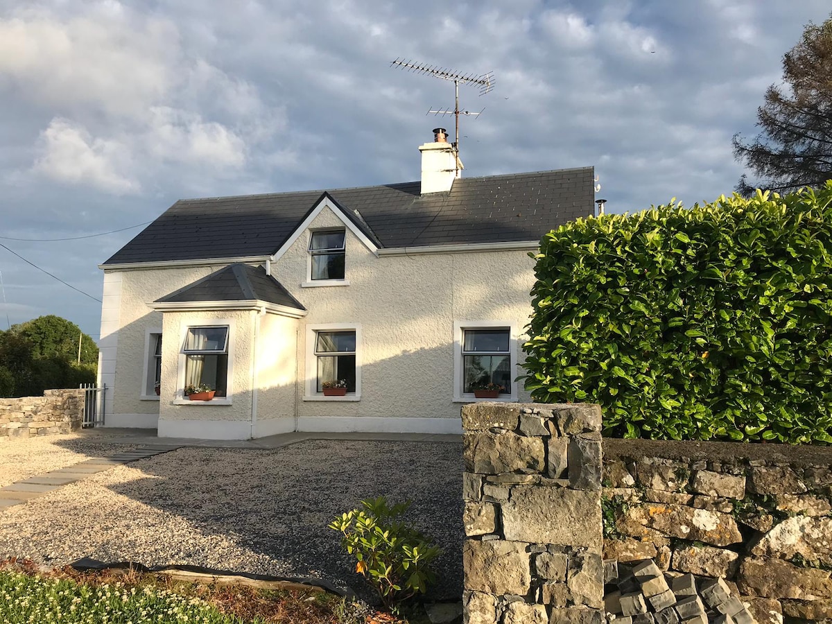 IndicatedEnclosure · 570 yd
 Tobar FheicinHoly well · 622 yd
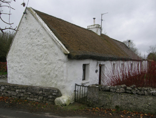 White O'Mornfarm house · 1189 yd
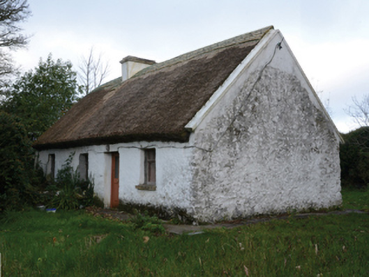 farm housefarm house · 1194 yd
 LabbadermotCave · 1.1 mi
 Loughmask CastleCastle · 1.3 mi
 Loughmask Castle in ruinsCastle, tower house · 1.3 mi
 Long IslandIslet · 1.8 mi
 Shrub IslandIslet · 1.9 mi
 European ashEuropean ash · 2.5 mi
 Black RocksNamed rock · 3.1 mi
 Quiet Man MuseumMuseum · 3.4 mi