
What is recorded here
Indicated is an oval fairy fort on a low Galway hillock, its collapsed drystone wall now hidden beneath grass. The fort measures forty-four metres across and holds a hidden row of stones near its centre, waiting for someone to notice what the turf concealed. It is not a grand castle or a busy market, but a quiet domestic shape from a forgotten neighbourhood, still holding the memory of the people who lived inside it.
On a low hillock in grassland. Oval cashel (NW-SE 44.5m, NE-SW 39m) defined by a collapsed grassed-over drystone wall. A series of grassed-over stones are visible just N of the centre of the interior. A field system (GA057-074002-) lies immediately to NNE.
The above description is derived from the published 'Archaeological Inventory of County Galway Vol. II - North Galway'. Compiled by Olive Alcock, Kathy de hÓra and Paul Gosling (Dublin: Stationery Office, 1999).
Date of upload: 05 August 2010
The monument record does not grant public access. Check the route and ask the landowner before entering private land.
- What survives
- Recorded monument
Places near here
 Field system in CarheenshowaghField system · 125 yd
 IndicatedFairy fort / ringfort · 385 yd
 Castle (in ruins)Castle, tower house · 1650 yd
 Corrofin CastleCastle · 1.1 mi
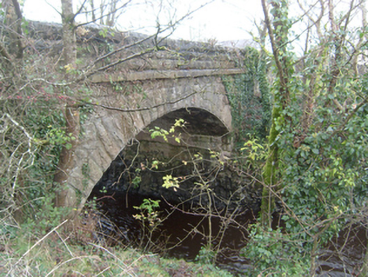 Corrofin Bridgebridge · 1.1 mi
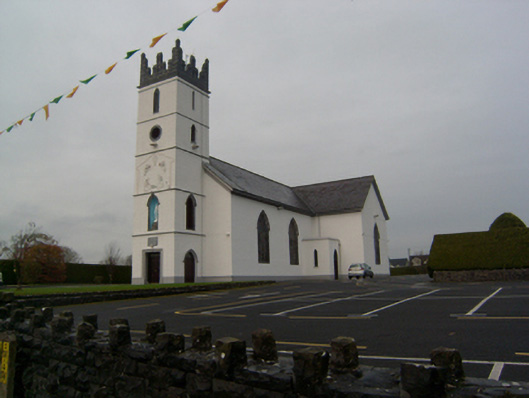 Saint Colman's Catholic Churchchurch/chapel · 1.2 mi
 KnockmaaWood · 4.0 mi
 Cregg Castle DemesneForest · 5.2 mi
 Kilcoona Round TowerHeritage attraction · 5.9 mi
 Mass RockNamed rock · 6.1 mi
 Oileán an AoilIsland · 9.2 mi
 Walsh's IslandIslet · 9.4 mi
Other information
Photo: Credit not shown in the picture search · Rights wording not checked; contact us if this picture should be removed