Places near here
Photo credits
- National Inventory of Architectural Heritage
- Kk, Wikimedia Commons · CC0
- abdallahh from Montréal, Canada, Wikimedia Commons · CC BY 2.0
- Dirk Huth, Wikimedia Commons · CC BY-SA 3.0
- Peter Allen, Wikimedia Commons · CC BY-SA 2.0
- Willthacheerleader18, Wikimedia Commons · CC0
- Mike Searle, Wikimedia Commons · CC BY-SA 2.0
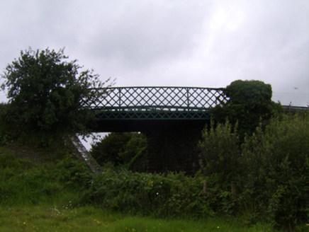 bridge934 yd
Explorer Tom Bridge in Clooncah is holding up traffic and bad romance advice simultaneously. Some poor soul probably proposed next to it, got rejected, and the cast-iron lattice has been smirking ever since. Go with some tea if you’re feeling brave enough for that view.
Enclosure in StreamsfordEnclosure · 1.2 miExplorer Tom Enclosure in Streamsford is basically a giant mud pie that forgot how to bake itself into something impressive. Have a sandwich here and call it a heritage lunch because you’re hungry and proud of it.
Enclosure in Beech HillEnclosure · 1.2 miExplorer Tom Enclosure in Beech Hill has a little chamber tomb hiding inside, like a secret diary entry from ancient times. It’s overgrown but definitely got some character to show off. Bring a pen pal, they'll be jealous of your adventure.
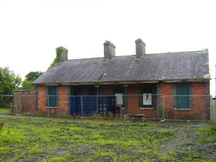 Attymon Railway StationRailway station · 1.5 mi
Explorer Tom Attymon Railway Station complains to the council that nobody visits because they don’t appreciate its brickwork. It’s been sitting here since the 1800s dreaming of the days when trains were actually fashionable. Bring a jacket, it’s chilly in here.
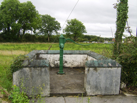 water pump1.5 mi
Explorer Tom Water pump in Attimonmore South has a handle so curvy it could win the county fair for best design. It’s been pumping water for centuries and still looks better than most modern taps. Sit on a wall near it.
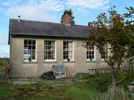 Saint Monica's National SchoolSchool · 1.6 mi
Explorer Tom Saint Monica’s National School in Shanballard is playing hard to get after giving up sweets for Lent. It used to be a school but now it’s just a house with secrets. Great spot to propose, or at least ask nicely.
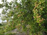 European Crab Apple3.5 mi
Explorer Tom The European Crab Apple in County Galway would bring a bottle of cheap rosé and a terrible pun to any party it attended. It’s got that kind of chaotic energy, so get a photo with it before it gets a better agent and starts charging for its autographs on the branch.
 Western Redcedar3.7 mi
Explorer Tom Western Redcedar in County Galway is caught in a territorial dispute with a nearby oak over who owns the best view of the valley. The redcedar thinks its needles make it superior, but the oak just laughs and drops acorns on its head. Wave at the cows, they're the real locals.
 Turoe StoneHeritage attraction · 4.9 mi
Explorer Tom Turoe Stone in County Galway hosted a dance party three thousand years ago where everyone went too far and forgot how to get home, hence why they're still wandering around as spirits. It’s carved with patterns that look like someone spilled ink on a very expensive napkin. Best seen with a hangover and a sausage roll.
 Kilconnell AbbeyVisitor attraction · 7.1 mi
Explorer Tom Kilconnell Abbey would take its lotto win and spend it all on a really fancy hat for one of the statues just to see if anyone notices. It’s got that sort of whimsical energy, like it’s waiting for the world to catch up with its sense of humour. Mind the nettles, they're the real guards here.
 Clonbrock CastleCastle, tower house · 9.6 mi
Explorer Tom Clonbrock Castle is well-preserved, partially restored, and sits in flat woodland by the river. Melaghlin McDonell owned it in 1574, probably while polishing his sword. Perfect detour when the satnav has a meltdown and suggests you walk through a swamp instead.
_-_geograph.org.uk_-_4071504.jpg/250px-Castles_of_Connacht,_Castle_Ffrench,_Galway_(1)_-_geograph.org.uk_-_4071504.jpg "Photo: Mike Searle, Wikimedia Commons · CC BY-SA 2.0") Tower (in Ruins)Castle, tower house · 13 mi
Tower (in Ruins)Castle, tower house · 13 miExplorer Tom Tower in Castle Ffrench is standing there with its coat of arms, built in 1683 to show off a bit. It’s basically a brick letter that never got sent. Bring a pen pal, they'll be jealous of how well it's holding up over the years.
More historic places in County Galway · All of County Galway

What do you know about this place?Tap to add a comment or ask a question