What is recorded here
In rough rocky pasture, on the E edge of a terrace on the E-facing slope of a stream valley. A circular area (diam. 23m) enclosed by foundations of a stone wall (Wth 1.5m; int. H 0.1m; ext. H 0.6m) with internal and external kerbing of large stones. The wall is well defined on the S and SE but ruinous at NW. The interior is highest at the centre and slopes gently down towards the enclosing wall and is crossed by a field boundary on ENE-WSW axis. In the interior, to W of centre, a row of contiguous stones extends 3.4m to NW from field boundary. There is a large slab (L 1.1m; H 0.35m; T 0.35m) on the E side of the NW end. A low arc of a sod-covered wall (Wth 0.6m; H 0.2m), built against the inner face of the cashel wall at N, encloses a roughly semicircular area (5m NE-SW; 3m NW-SE). A second similar arc of sod-covered wall (Wth 0.6m; int. H 0.4m; ext. H 0.1m) extends W-NE from the cashel wall at SSW.
In rough rocky pasture, on the E edge of a terrace on the E-facing slope of a stream valley. A circular area (diam. 23m) enclosed by foundations of a stone wall (Wth 1.5m; int. H 0.1m; ext. H 0.6m) with internal and external kerbing of large stones. The wall is well defined on the S and SE but ruinous at NW. The interior is highest at the centre and slopes gently down towards the enclosing wall and is crossed by…
From the National Monuments Service (Archaeological Survey of Ireland) record SL025-001
The monument record does not grant public access. Check the route and ask the landowner before entering private land.
- What survives
- Recorded monument
Places near here
 Cabragh Wedge TombArchaeological place · 743 ydIndicatedFairy fort / stone ringfort · 1121 yd
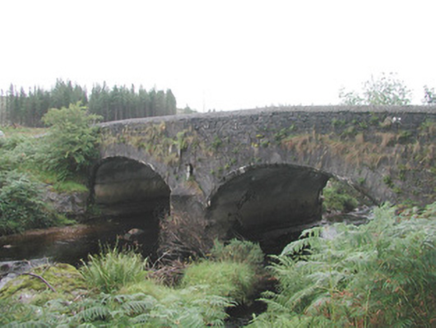 Carha BridgeBridge · 1.1 miCloonaghMountain / peak · 1.3 mi
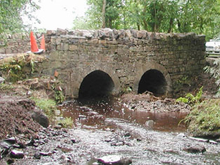 bridge1.5 mi
 European ash2.8 miBawn in Longford DemesneBawn · 3.0 miIndicatedCastle, motte · 3.2 mi
 KnocknasheeMountain / peak · 3.6 miGiant's GraveArchaeological place · 4.3 miThe Turf Stack RockNamed rock · 4.3 miEuropean ash5.2 mi
Pictures: spezifischer Zeichner : J. E. Walkowitz, Wikimedia Commons · CC BY-SA 3.0; National Inventory of Architectural Heritage; Willow, Wikimedia Commons · CC BY 2.5; Digi-Telly, Wikimedia Commons · CC BY-SA 4.0
More archaeology and monuments in County Sligo · All of County Sligo
What do you know about this place?