What is recorded here
On the fairly gently sloping N side of a small E-W valley, c. half way between the valley floor and the crest of the ridge to the N, surrounded by grassland. There are good views in all directions. The enclosure is heavily overgrown with trees and scrub. Indicated as a roughly circular enclosure (diam. c. 63m N-S; c.…
Read the whole record
From the National Monuments Service (Archaeological Survey of Ireland) record KK018-004
Places near here
Photo credits
- National Inventory of Architectural Heritage
- Maker not stated on source page, commons.wikimedia.org
- Maker not stated on source page, www.pinterest.com
- Public picture contributor, Wikimedia Commons · Public domain
- Maker not stated on source page, br.pinterest.com
- Maker not stated on source page, monumentalireland.ie
- Maker not stated on source page, en.wikipedia.org
- Maker not stated on source page, www.mirror.co.uk
- Mike Searle, Geograph · CC BY-SA 2.0
- Maker not stated on source page, ru.pinterest.com
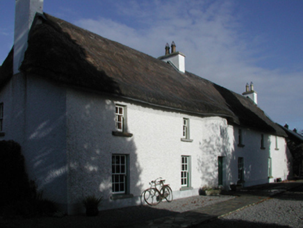 Curragh HouseFarm house · 1685 yd
Explorer Tom Curragh House is haunted by a ghost who’s too lazy to even rattle the chains. It’s got a thatched roof that looks like…
 Fairy fort / earthen ringfort in CurraghscarteenFairy fort / earthen ringfort · 1.0 mi
Explorer Tom Fairy fort / earthen ringfort in Curraghscarteen loves 'Dancing Queen' because it thinks it's still the main event from…
 Cist in BlanchfieldsbogCist · 1.1 mi
Explorer Tom Cist in Blanchfieldsbog was once bought by a cow who thought she had great taste in stone coffins. It’s been missing…
 Fairy fort / earthen ringfort in TrenchardstownFairy fort / earthen ringfort · 1.1 mi
Explorer Tom Fairy fort / earthen ringfort in Trenchardstown: On a reality show, it would hide in the bushes. It’s got a fosse and a…
 CastleCastle, unclassified · 1.1 mi
Explorer Tom Castle in Courtstown is teaching history by disappearing completely. It’s not on any modern maps, which is very clever…
 Earthwork in CourtstownEarthwork · 1.2 mi
Explorer Tom Earthwork in Courtstown has a secret talent for making horses look like they’re doing yoga poses when you squint really…
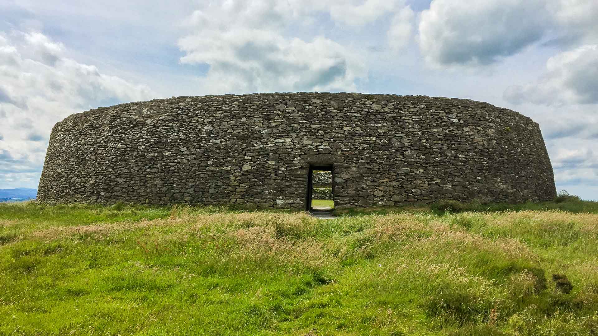 Fairy fort / earthen ringfort in MonablanchameenFairy fort / earthen ringfort · 1.3 mi
Explorer Tom Fairy fort / earthen ringfort in Monablanchameen has strict rules: no loud noises and absolutely no mud on its bank.…
 Killahy Ringfort (rath)Archaeological place · 1.4 mi
Explorer Tom Killahy Ringfort in County Kilkenny has a secret talent for looking exactly like a giant stone doughnut left by giants.…
 Fairy fort / earthen ringfort in Killahy (crannagh By.)Fairy fort / earthen ringfort · 1.4 mi
Explorer Tom Fairy fort / earthern ringfort in Killahy is currently fighting with another fort over who gets to park their imaginary…
 Church (in ruins)Church · 1.9 mi
Explorer Tom Church in Kildrinagh is deeply suspicious of the postman because he always drops letters in the wrong field. It thinks…
 Clonamicklon Castle (in ruins)Bawn · 4.6 mi
Explorer Tom This bawn at Clonamicklon is basically a fence that got tired and gave up halfway through the job. It sits next to the…
 Islands GraveyardGraveyard · 6.1 mi
Explorer Tom Islands Graveyard has been hiding a scandal involving a secret marriage between two rival families for centuries…
More archaeology and monuments in County Kilkenny · All of County Kilkenny

What do you know about this place?Tap to add a comment or ask a question