What is recorded here
Thirty metres of earth and shadow stretch across a wet Kilkenny field, hiding a kitchen garden or a forgotten village beside the castle. The mud remembers hot stones and human hands even when the name has vanished.
On a gentle S-facing slope in a wet marshy area. There is a good view to the SE. Identified during ASI fieldwork in 1994, a number of rectangular earthworks running NW-SE (L c. 40m NW-SE; c. 50m NE-SE). Within the most westerly there is a low horsehoe-shaped mound (KK018-100002-) enclosed by a fosse and outer bank which was interpreted as a fulacht fiadh. This feature is further enclosed with a rectangular enclosure defined by a bank (H 0.35m; Wth 3.6m), with a field boundary running along the W side and open to the SW, as is the enclosure immediately SE of it. There are two further rectangular enclosures (int. dims. 12m x 10.2m and 10.7m x 10.6m) to thhe SE, though these are on a slightly different NW-SE line, 4.6m to the SW. These are enclosed by a fosse (Wth 2.3m) and outer bank (H 0.7m; Wth 3.2m). They run into the field boundary to the SW. These earthworks are closely associated with a large square earthwork c. 20m to the W which is possibly the medieval castle (KK018-028001-) and bawn (KK018-028002-) of Courtstown. The function of these earthworks is unknown, they could be settlement features associated with the castle, however, they could also be garden features.
Compiled by: Jean Farrelly
Date of upload: 9 July 2020
The monument record does not grant public access. Check the route and ask the landowner before entering private land.
- What survives
- Recorded monument
Places near here
 CastleCastle, unclassified · 141 yd
 IndicatedEnclosure · 732 yd
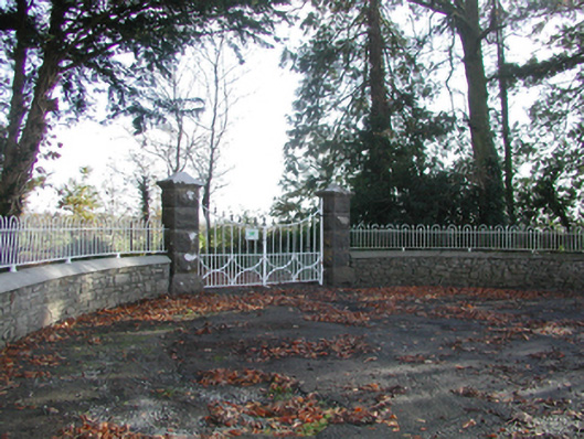 Curragh Housegates/railings/walls · 965 yd
 Enclosure in TrenchardstownEnclosure · 1641 yd
 Tullaroan ChurchChurch · 1.1 mi
 Killeen Fox CovertForest · 1.4 mi
 Site of CastleCastle, unclassified · 1.7 mi
 Kildrinagh WoodForest · 3.1 mi
 Warhouse HillMountain / peak · 3.5 mi
 Ballykeeffe Mass RockNamed rock · 3.7 mi
 Ballykeefe AmphitheatreHeritage attraction · 3.8 mi
 Ballykeefe QuarryCliff · 3.8 mi