What is recorded here
In improved, undulating pasture. A sunken oval area (overall dims. 12m N-S; 9m E-W) with traces of a raised, sub-circular area (dims. 5m N-S; 6.5m E-W) within the interior, defined by a fosse (Wth 1.8m; D 0.15m) from SE-S and NW-N. It is depicted on the 1840 OS 6-inch map as a sub-oval area with a small, sub-oval feature within. Field boundaries (long axis NNW-SSE) depicted on the 1901-05 edition OS 6-inch map extending to N and S have been removed.
Compiled by: Jean Farrelly
Date of upload: 26 August 2011
A Neolithic passage tomb with a fosse; date to c. 3500–2500 BCE. Its construction reflects early communal burial practices and earthwork engineering in prehistoric Ireland.
The monument record does not grant public access. Check the route and ask the landowner before entering private land.
- What survives
- Recorded monument
Places near here
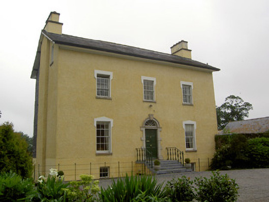 The Gleberectory/glebe/vicarage/curate's house · 910 yd
 Site of ChurchChurch · 927 yd
 Enclosure in Templenoe (templenoe Par.)Enclosure · 1158 yd
 European ashEuropean ash · 1.0 mi
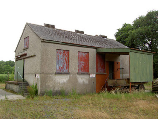 Grantstown Creamerycreamery · 1.2 mi
 Kilfeakle Castle (in ruins)Castle, tower house · 1.3 mi
 Old CastleRuins · 1.4 mi
 I.R.A. 3rd. Tipperary Brigade MemorialMemorial · 2.4 mi
 Soloheadbeg Ambush SiteMemorial · 2.9 mi
 Soloheadbeg Ambushambush · 3.0 mi
 It's a long way to TippereryHeritage attraction · 3.1 mi
 Maudemount BogWood · 4.0 mi