What is recorded here
In undulating pasture on top of a hillock, c. 400m NE of the Laune River. It is not visible at ground level. It was indicated on the 1846 OS 6-inch map as a small subrectangular field (c. 50m NW-SE; c. 30m NE-SW) and indicated on the 1895 OS 6-inch map as a semicircular enclosure in the NE side of a field. A modern house now occupies much of this site.
Compiled by: Ursula Egan
Date of upload: 21 March 2013
The monument record does not grant public access. Check the route and ask the landowner before entering private land.
- What survives
- Recorded monument
Places near here
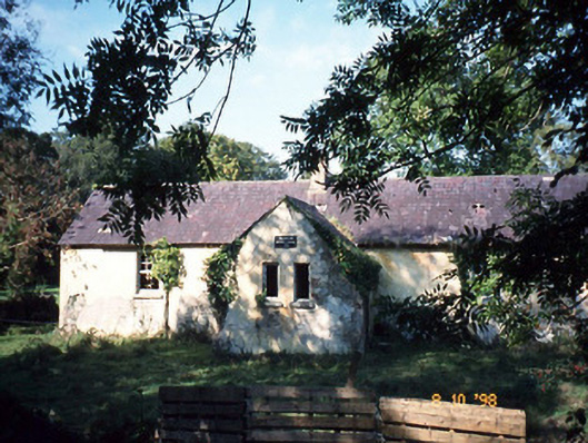 Callanafersy National Schoolschool · 799 yd
 Clash IslandIslet · 833 yd
 Enclosure in Callanafersy WestEnclosure · 844 yd
 LismoyleArchaeological place · 1225 yd
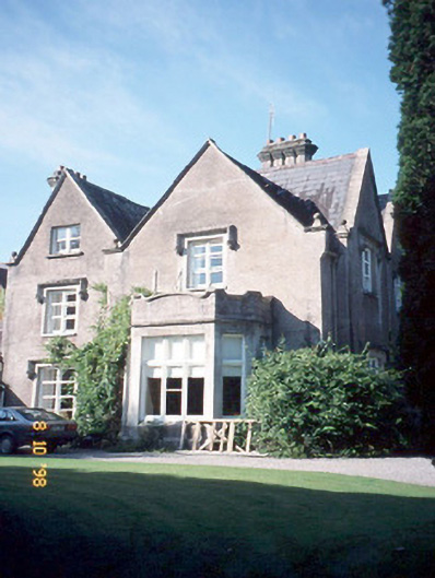 Callinafercy Housecountry house · 1353 yd
 Cloon IslandIsland · 1519 yd
 King Puck statueMemorial · 1.7 mi
 CastleCastle, tower house · 1.7 mi
 Castle Drum (in ruins)Castle, unclassified · 3.0 mi
 LisnagraveArchaeological place · 3.4 mi
 The Kerry Creamery ExperienceHeritage attraction · 4.3 mi
 CaherblaMountain / peak · 5.6 mi