What is recorded here
Fairy fort / earthen ringfort in Callanafersy West stands as National Monument No. 238, a low earthen bank enclosing a level pasture field six hundred metres north of the Laune River. The southern field wall has bitten into the fort, and a fifteen-metre gap on the north-east side suggests the earth itself forgot the shape. Yet beneath the west bank lies a collapsed passage running six metres northeast to southwest, its small opening still visible despite the ruin. The reeks rise clearly to the south, watching the hollow where human hands built a circle the field wall now treats as an obstacle.
National Monument No. 238. Situated in a level field used as pasture. The site is abutting the southern field wall, which has destroyed a small portion of the fort bank. The site is approx. 600m north of the Laune River. The reeks can clearly be seen to the south. Poorly preserved remains consist of a circular area (dims. 14.2m N-S x 24.5m E-W) enclosed by a poorly preserved earthen bank (int. H 0.55m; ext. H 1m; Wth 3.6m). A 15m portion of the bank on the N-NE side is completely destroyed. There is no visible entrance. On the west side of the fort under the bank there is a Man-made underground passage opening 0.45m x 0.6m. The Man-made underground passage opening is very much collapsed and inaccessible. However, the Man-made underground passage runs in a NE SW direction for approx. 6m. Internally there are no other features and the fort measures overall 18.2 N-S x 31.5m E-W.
Compiled by: Caimin O'Brien
Date of upload: 10 May 2022
The monument record does not grant public access. Check the route and ask the landowner before entering private land.
- What survives
- Recorded monument
Places near here
 Enclosure in Callanafersy WestEnclosure · 209 yd
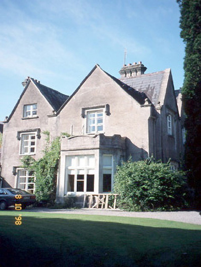 Callinafercy Housecountry house · 354 yd
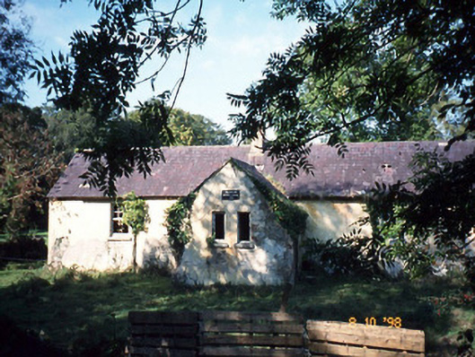 Callanafersy National Schoolschool · 801 yd
 LismoyleArchaeological place · 1522 yd
 Clash IslandIslet · 1647 yd
 Cloon IslandIsland · 1.1 mi
 King Puck statueMemorial · 1.9 mi
 CastleCastle, tower house · 1.9 mi
 Castle Drum (in ruins)Castle, unclassified · 2.8 mi
 LisnagraveArchaeological place · 3.1 mi
 The Kerry Creamery ExperienceHeritage attraction · 4.9 mi
 CaherblaMountain / peak · 5.1 mi