
What is recorded here
Located in a reclaimed grassy field, on higher ground to the e of an area of marshy ground and conifer plantation. Three new bungalows are located immediately to the S. The Slieve Mish mountains are visible to the N. Traces of an oval hollow, 30m N-S, and 0.8m below surrounding ground level. A possible bank, 8m E-W, 0.4m high is located on its E side of the hollow. This possible bank does not appear to enclose the hollow; rather it just seems to peter out to the N. Another possible bank occurs on the SW side of the hollow. It is ill-defined, is approximately 8m wide and 0.2m high. This arrangement may be natural, but would appear to be the source of the possible enclosure identified on an aerial photograph.
Compiled by: Frank Coyne
Date of upload: 05 September 2013
The monument record does not grant public access. Check the route and ask the landowner before entering private land.
- What survives
- Recorded monument
Places near here
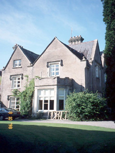 Callinafercy Housecountry house · 511 yd
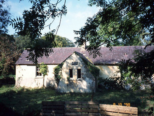 Callanafersy National Schoolschool · 801 yd
 LismoyleArchaeological place · 1330 yd
 Clash IslandIslet · 1440 yd
 Cloon IslandIsland · 1.0 mi
 Enclosure in BallykissaneEnclosure · 1.1 mi
 King Puck statueMemorial · 1.8 mi
 CastleCastle, tower house · 1.8 mi
 Castle Drum (in ruins)Castle, unclassified · 2.9 mi
 LisnagraveArchaeological place · 3.2 mi
 The Kerry Creamery ExperienceHeritage attraction · 4.8 mi
 CaherblaMountain / peak · 5.2 mi
Other information
Photo: Credit not shown in the picture search · Rights wording not checked; contact us if this picture should be removed