What is recorded here
Semi-circular 'pond' feature immediately west of Cahir Guillamore House (LI031-041019-), depicted as a v-shaped ornamental pond on the 1840 ed. OS 6-inch map. Probably an ornamental pond associated with post-1700 landscaping of the grounds on the demesne of Cahir Guillamore House.
Compiled by: Caimin O'Brien
Date of upload: 3 March 2020
The monument record does not grant public access. Check the route and ask the landowner before entering private land.
- What survives
- Recorded monument
Places near here
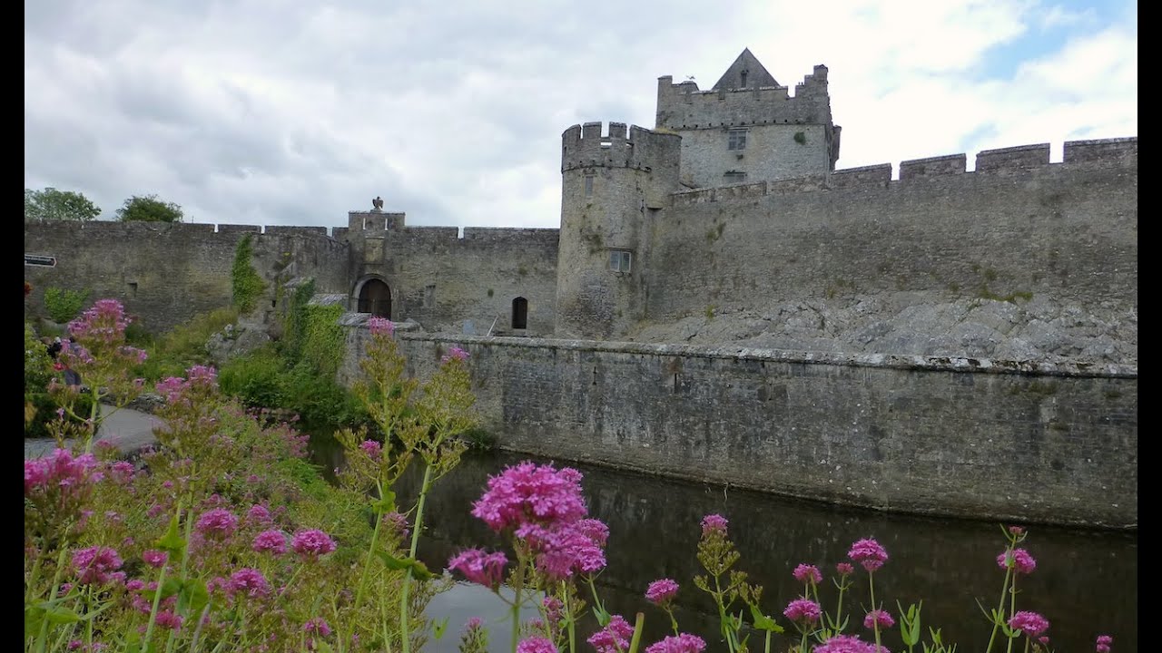 Cahir GuillamoreHouse, 17th century · 115 yd
 Burial in Rockbarton (smallcounty By.)Burial · 246 yd
 Field system in Cahirguillamore (smallcounty By.)Field system · 268 yd
 RoadRoad, road/trackway · 797 yd
 CastleCastle, unclassified · 861 yd
 Bawn in Grange (smallcounty By.)Bawn · 1.1 mi
 Lough GurVisitor information · 1.3 mi
 Grange Stone CircleArchaeological place · 1.3 mi
 European ashEuropean ash · 4.3 mi
 Villiers WellSpring · 4.6 mi
 KnockainyMountain / peak · 4.7 mi
 Flat cemetery in Knockainy WestFlat cemetery · 5.7 mi