What is recorded here
Slightly W of centre in the interior of a cashel (MA119-052001-).
This rectangular house is shown on the 1838 OS 6-inch map but not on later map editions. The ruined remains takes up much of the central space in the cashel interior. It is evident as a low rectangular platform (16.3m NNW−SSE; c. 7m ENE−WSW) defined by a wall reduced now to a sod-covered stone bank (Wth c. 2m; int. H 0.1; ext. H 0.3-0.6m). The NW half is quite well defined, with a rough break in the middle of the NW wall. The NE wall has been largely obliterated. The SW wall is partly truncated at its S end by an irregular-shaped linear depression/trench (8m N−S; 1.7m at S, 4.5m at N) which cuts through the S half of the house interior on a roughly N-S axis. The depression is wider at the N end and is now filled with loose stones. The SE end wall of the house appears to merge with a low wall/bank which subdivides the S portion of the cashel interior.
The date of the house is uncertain. It might be relatively late, associated with a field system (MA119-052002-) that encloses the cashel.
Compiled by: Jane O’Shaughnessy
Date of upload: 23 August 2023
The monument record does not grant public access. Check the route and ask the landowner before entering private land.
- What survives
- Recorded monument
Places near here
 IndicatedEnclosure · 363 yd
 Enclosure in Ardkill,caherwiclaun,kilquire UpperEnclosure · 440 yd
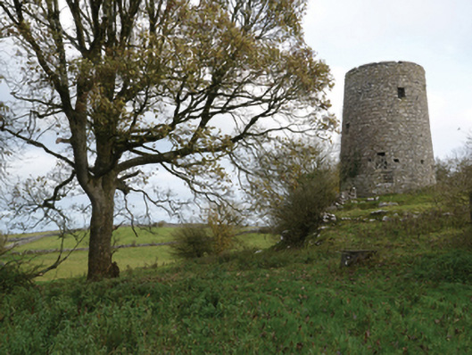 Highwood Millmill (wind) · 951 yd
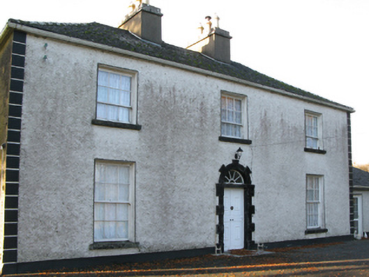 Fort Villefarm house · 1285 yd
 Bawn in Kilquire LowerBawn · 1466 yd
 Killernan CastleCastle · 1519 yd
 European YewEuropean Yew · 2.5 mi
 SycamoreSycamore · 4.2 mi
 Ross Errilly FriaryHeritage attraction · 8.2 mi
 Mass RockNamed rock · 8.6 mi
 School of FalconryHeritage attraction · 8.9 mi
 Oileán na nAnamIslet · 9.1 mi