What is recorded here
On a slope in rough pastureland. Poorly preserved circular cashel (diam. 31m) defined by a drystone wall, much obscured by overgrowth and overlain by a field wall at S. A lot of field-clearance rubble has been piled against and on top of the enclosing wall and a large clearance cairn has been packed against the external wall-face in the N sector. The field walls shown on the 1933 edition of the OS 6-inch map at NW, N, NE and SE have been removed. An L-shaped foundation line noted in the NW quadrant of the interior in 1983 (SMR file) may be the remains of an internal division or house site. The landowner found bones and small flagstones when digging a low earthen ridge (L c. 11m; Wth c 1.5m) to the E of the cashel wall. (McCaffrey 1952, 219, no. 90a)
Compiled by: Galway Archaeological Survey, UCG
Date of upload: 18 January 2017
A local fairy fort (ringfort/rath); wider significance not recorded.
The monument record does not grant public access. Check the route and ask the landowner before entering private land.
- What survives
- Recorded monument
Places near here
 Man-made underground passage in CarrowsteelaghMan-made underground passage · 684 yd
 Cregg Castle (in ruins)Castle, tower house · 741 yd
 CaveMan-made underground passage · 1170 yd
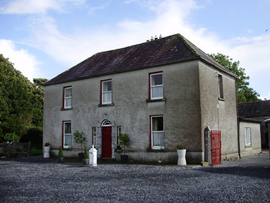 Carheen Househouse · 1202 yd
 Killogilleen Church (in ruins)Church · 1233 yd
 Bawn in Deerpark (kilchreest Ed)Bawn · 1.2 mi
 Blake's IslandIslet · 4.3 mi
 Ash IslandIslet · 4.5 mi
 Scalpeen RockNamed rock · 5.2 mi
 HawthornHawthorn · 6.6 mi
 European ashEuropean ash · 6.6 mi
 KnocknarebanaMountain / peak · 8.0 mi