
What is recorded here
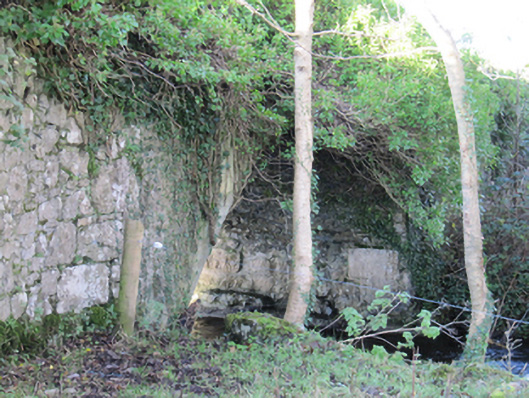
In the N sector of a possible rath (GA104-062----). Named 'Cave' on the 1838 edition of the OS 6-inch map. McCaffrey recorded that it was 'Not present' during his survey and that the site was one of very rough limestone outcrop obscured by bushes. No visible surface trace survives.
Compiled by: Olive Alcock
Date of upload: 1 August 2019
The monument record does not grant public access. Check the route and ask the landowner before entering private land.
- What survives
- Recorded monument
Places near here
 Man-made underground passageMan-made underground passage · 612 yd
 Cregg Castle (in ruins)Castle, tower house · 1054 yd
 Flour and Corn MillMill, corn · 1358 yd
 Roxboroughbridge · 1367 yd
 Man-made underground passage in CarrowsteelaghMan-made underground passage · 1729 yd
 Bawn in Deerpark (kilchreest Ed)Bawn · 1.2 mi
 Blake's IslandIslet · 4.9 mi
 Ash IslandIslet · 4.9 mi
 Scalpeen RockNamed rock · 5.1 mi
 KnockapollboyMountain / peak · 5.4 mi
 HawthornHawthorn · 6.0 mi
 European ashEuropean ash · 6.0 mi
Other information
Photo: Credit not shown in the picture search · Rights wording not checked; contact us if this picture should be removed