What is recorded here
This rectangular bawn (30.2m N-S; 22.3m E-W) is associated with a tower house (GA097-044----) which occupies its N half. It survives as a grassed-over mound with internal and external revetment visible intermittently and it is best preserved along the S side (Wth 1.15m; int. H 0.5m; ext. H 0.9m). Hawthorn trees are growing along the W side. Large limestone blocks and collapsed chunks of mortared stone are strewn about the N end of the interior. A large stone-lined pit is visible at NE. A number of breaches occur but the original entrance was not discernible.
This rectangular bawn (30.2m N-S; 22.3m E-W) is associated with a tower house (GA097-044----) which occupies its N half. It survives as a grassed-over mound with internal and external revetment visible intermittently and it is best preserved along the S side (Wth 1.15m; int. H 0.5m; ext. H 0.9m). Hawthorn trees are growing along the W side. Large limestone blocks and collapsed chunks of mortared stone are strewn…
From the National Monuments Service (Archaeological Survey of Ireland) record GA097-044001
The monument record does not grant public access. Check the route and ask the landowner before entering private land.
- What survives
- Recorded monument
Places near here
Photo credits
- National Inventory of Architectural Heritage
- Mike Searle, Wikimedia Commons · CC BY-SA 2.0
- Dirk Huth, Wikimedia Commons · CC BY-SA 3.0
- Andreas F. Borchert, Wikimedia Commons · CC BY-SA 4.0
- Rryswny, Wikimedia Commons · CC BY-SA 4.0
- Stephan van Helden, Wikimedia Commons · CC BY-SA 4.0
- Ingo Mehling, Wikimedia Commons · CC BY-SA 3.0
 Clogharevaun BridgeBridge · 1581 yd
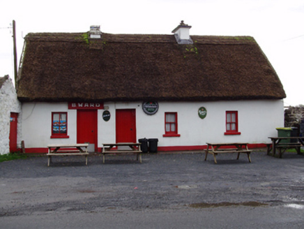 B. WardHouse · 1601 yd
_-_geograph.org.uk_-_5829605.jpg/250px-Castles_of_Connacht,_Dunsandle,_Galway_(1)_-_geograph.org.uk_-_5829605.jpg "Photo: Mike Searle, Wikimedia Commons · CC BY-SA 2.0") Castle (in ruins)Castle, tower house · 1.2 mi
Castle (in ruins)Castle, tower house · 1.2 mi_-_geograph.org.uk_-_4070861.jpg/250px-Castles_of_Connacht,_Moyode,_Galway_(2)_-_geograph.org.uk_-_4070861.jpg "Photo: Mike Searle, Wikimedia Commons · CC BY-SA 2.0") Moyode CastleCastle · 2.2 miMoyard WoodWood · 2.5 mi
Moyode CastleCastle · 2.2 miMoyard WoodWood · 2.5 mi Turoe StoneHeritage attraction · 3.7 mi
 Athenry AbbeyHeritage attraction · 4.6 mi
 IndicatedTown defences · 4.7 mi
 Check mapCross, Market cross · 4.7 mi
 Horse-chestnut4.9 mi
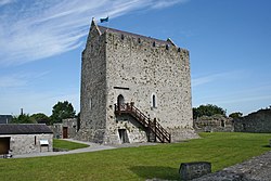 First Battle of AthenryBattle · 5.2 miBlake's IslandIslet · 5.4 mi
More castles and forts in County Galway · All of County Galway
What do you know about this place?