What is recorded here
Indicated is a fairy fort in low-lying Mayo pasture, a 43m circular area bounded by two earthen banks and a shadowy fosse. Its outer bank dips to half a metre on the eastern side, inviting entry into the green dark, while an underground passage cuts through the interior. The shape feels less like abandoned human work and more like a chamber waiting for breath, memory or transformation.
In low-lying pasture, W of ringfort (MA121-156001-). Circular area (diam. 43m N-S), enclosed by two earthen banks, with intervening fosse. Inner bank (H 0.8m) and fosse heavily overgrown. Outer bank (H 0.5m) has possible entrance on E side. Man-made underground passage (MA123-120002-) in interior.
The above description has been derived from D. Lavelle (compiler), An Archaeological Survey of Ballinrobe and District including Lough Mask and Lough Carra. Lough Mask and Lough Carra Tourist Development Association (1994), No. 122.
Date of upload: 16 January 2015
The monument record does not grant public access. Check the route and ask the landowner before entering private land.
- What survives
- Recorded monument
Places near here
 Castle in ruinsCastle, tower house · 1168 yd
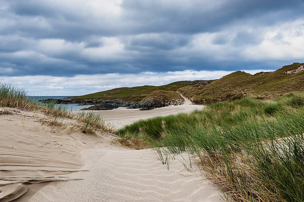 TobersharveHoly well · 1290 yd
 Cahpel in ruinsChapel · 1411 yd
 Site of FortFairy fort / stone ringfort · 1467 yd
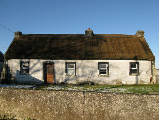 farm housefarm house · 1507 yd
 Mocorha CastleCastle · 1.2 mi
 Cregg PlantationForest · 1.8 mi
 Pesooge PlantationForest · 2.3 mi
 Ross Errilly FriaryHeritage attraction · 3.2 mi
 Gibbs IslandsIslet · 4.4 mi
 Red Island RockIslet · 4.7 mi
 School of FalconryHeritage attraction · 6.9 mi