What is recorded here
Situated in rough pasture largely overgrown with hazel, at the leading E edge of a level terrace with a sharp slope down to Caher River just to the E. Hachured as a circular enclosure on the 1840 ed. of the OS 6-inch map, and depicted as a rectangular enclosure on the 1916 ed.
A poorly preserved subrectangular enclosure with slightly rounded corners (int. dims. 38m N-S; 32m E-W) defined by a collapsed stone spread (Wth 4-5.4m; int. H 0.3-1.1m) with a later, now partially collapsed field wall built on top. There are no definite entrances but a gap (Wth 0.6m) in the centre of the N wall is a possible candidate. The interior is mostly level but the E third slopes gently down to the E. Two rectangular structures, defined by collapsed stone walls (Wth 1-2m; H 0.4-0.6m), are located within the enclosure: one in the SW corner (int. dims. 6m x 6m) and another (int. dims. 5m E-W; 4m N-S) midway along the N wall. These may be relatively recent animal pens.
Compiled by: Mary Tunney, Olive Alcock and Ros Ó Maoldúin
Date of upload: 28 September 2021
The monument record does not grant public access. Check the route and ask the landowner before entering private land.
- What survives
- Recorded monument
Places near here
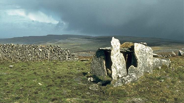 IndicatedEnclosure · 343 yd
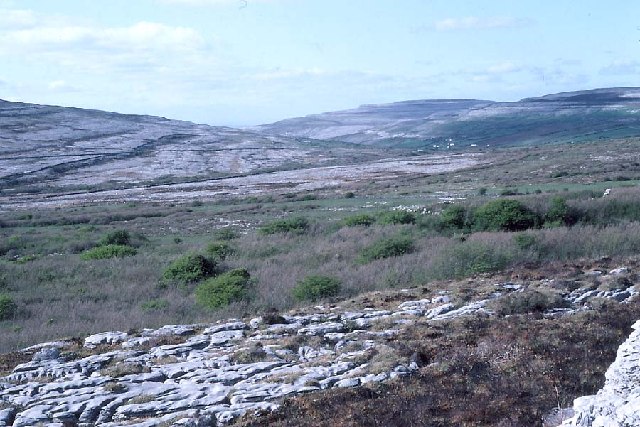 Derrynavahagh CaherFairy fort / stone ringfort · 411 yd
 Formoyle R.C. ChapelChurch · 776 yd
 Slieve ElvaMountain / peak · 1.7 mi
 Faunarooska Castle (in ruins)Castle, tower house · 1.9 mi
 FaunarooskaCave · 2.1 mi
 CappanawallaMountain / peak · 2.2 mi
 PollbailinyCave · 2.2 mi
 Balliny CaherRuins · 2.3 mi
 Gregan CastleCastle · 2.5 mi
 Fanore BeachBeach / strand · 2.6 mi
 Bird Of Prey CentreHeritage attraction · 3.8 mi