What is recorded here
On a NW-facing pasture slope (between the 400’ and 500’ contours), overlooking Lough Graney to the W. A circular area (int. diams. 34m E-W; 33.40m N-S; ext. diams. 42.20m E-W; 39.10m N-S) is enclosed by an earthen bank which is best preserved from NE-E (int. H 1m; ext. H 0.3m; Wth at top 2.1m; Wth at base c. 7m, including slippage from the bank) and lowest between NW and N (int. H 0.-5-0.10m; ext. H 0.2m). There is an entrance gap (Wth 5.2m) at SE. The interior slopes down from SE to NW, is free of vegetation, and contains exposed rock outcrop in the SW sector. The monument is fenced along its outer perimeter with a gate at NW providing access to allow the interior to be grazed.
On a NW-facing pasture slope (between the 400’ and 500’ contours), overlooking Lough Graney to the W. A circular area (int. diams. 34m E-W; 33.40m N-S; ext. diams. 42.20m E-W; 39.10m N-S) is enclosed by an earthen bank which is best preserved from NE-E (int. H 1m; ext. H 0.3m; Wth at top 2.1m; Wth at base c. 7m, including slippage from the bank) and lowest between NW and N (int. H 0.-5-0.10m; ext. H 0.2m). There…
From the National Monuments Service (Archaeological Survey of Ireland) record CL013-002
The monument record does not grant public access. Check the route and ask the landowner before entering private land.
- What survives
- Recorded monument
Places near here
Photo credits
- P L Chadwick, Geograph · Creative Commons Attribution-ShareAlike 2.0
- Yosemite, Wikimedia Commons · CC BY-SA 3.0
- Karduelis, Wikimedia Commons · Public domain
- National Inventory of Architectural Heritage
- colm, Wikimedia Commons · CC BY-SA 2.0
- Mike Searle, Wikimedia Commons · CC BY-SA 2.0
- dougf, Wikimedia Commons · CC BY-SA 2.0
- Deadstar, Wikimedia Commons · CC BY-SA 3.0
- Oliver Dixon, Wikimedia Commons · CC BY-SA 2.0
- JP, Geograph · CC BY-SA 2.0
Ecclesiastical enclosure in FlagmountEcclesiastical enclosure · 956 yd Bleach BridgeBridge · 1.2 miJapanese cedar1.8 miCherry laurel1.8 miBunshoon BridgeBridge · 1.9 miMagheraMountain / peak · 3.5 miMaguire SistersMemorial · 4.3 miArdamullivan Castle (in ruins)Castle, tower house · 7.7 miKiltartan Castle (in ruins)Castle, Anglo-Norman masonry castle · 9.5 miInishcaltra or Holy IslandIslet · 9.7 miLady WellHoly well · 9.8 miCrow IslandIslet · 12 mi
 Bleach BridgeBridge · 1.2 mi
 Japanese cedar1.8 mi
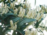 Cherry laurel1.8 mi
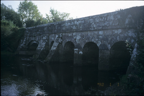 Bunshoon BridgeBridge · 1.9 mi
 MagheraMountain / peak · 3.5 miMaguire SistersMemorial · 4.3 mi
 Ardamullivan Castle (in ruins)Castle, tower house · 7.7 mi
 Kiltartan Castle (in ruins)Castle, Anglo-Norman masonry castle · 9.5 mi
 Inishcaltra or Holy IslandIslet · 9.7 mi
_-_geograph.org.uk_-_5528121.jpg/250px-The_Holy_Well_on_Inis_Cealtra_(Holy_Island)_-_geograph.org.uk_-_5528121.jpg "Photo: Oliver Dixon, Wikimedia Commons · CC BY-SA 2.0") Lady WellHoly well · 9.8 mi
Lady WellHoly well · 9.8 mi Crow IslandIslet · 12 mi
More archaeology and monuments in County Clare · All of County Clare
What do you know about this place?