What is recorded here
In level pasture. A rectangular area (60m N-S; 40m E-W) is defined by traces of a fosse visible at the N, E, and SE; best visible at the centre of the S side. Also visible on a 2010 OSi Orthophoto.
Compiled by: Gearóid Conroy
Date of upload: 09 October 2013
The monument record does not grant public access. Check the route and ask the landowner before entering private land.
- What survives
- Recorded monument
Places near here
 Enclosure in KilbogganEnclosure · 1296 yd
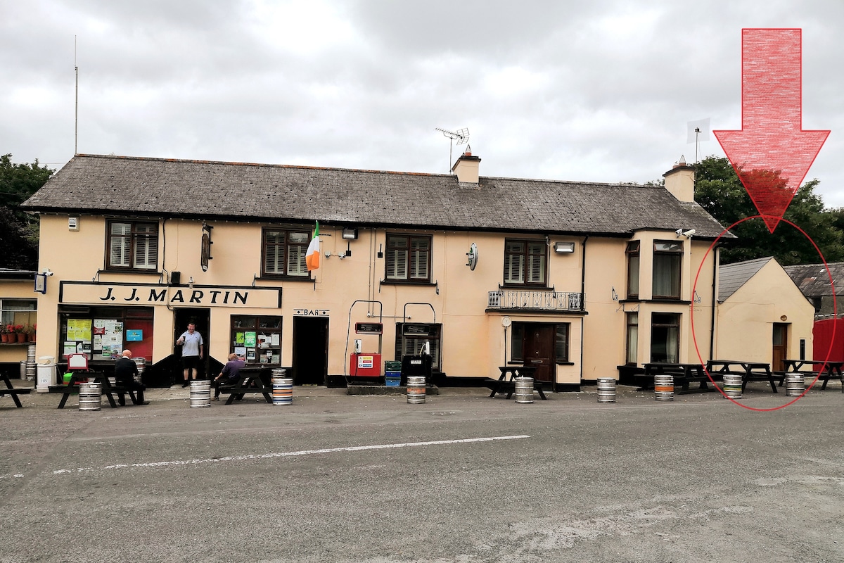 IndicatedEnclosure · 1695 yd
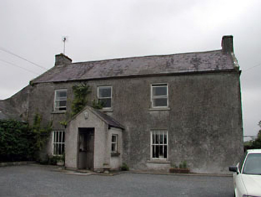 Gorteen Housefarm house · 1.4 mi
 Church (in Ruins)Church · 1.5 mi
 CastleCastle, unclassified · 1.5 mi
 Battle of Kilrushbattle · 2.1 mi
 Site of CastleCastle, unclassified · 2.2 mi
 Brookfield WoodWood · 4.0 mi
 Sitka SpruceSitka Spruce · 4.0 mi
 Japanese GardensHeritage attraction · 4.1 mi
 Irish National Stud and Japanese GardensHeritage attraction · 4.1 mi
 History of Moat of ArdscullVisitor information · 4.3 mi