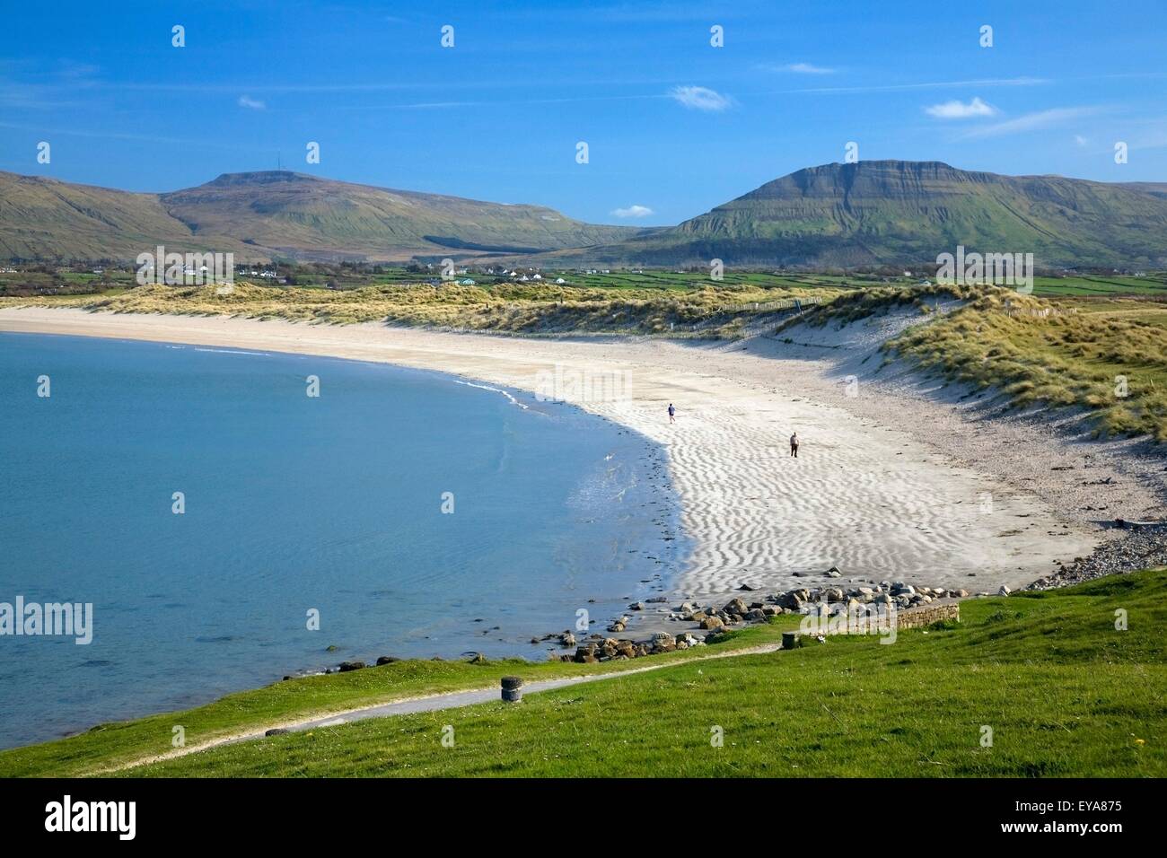
What is recorded here
On a slight W-facing slope in gently undulating pasture. Depicted on the 1912 OS 6-inch map as a roughly circular enclosure (diam. c. 20m) incorporated into field boundaries at W and NE. In 1946 the only extant remains comprised 'a short length of very overgrown stone wall about 3 ft. [0.9m] high'. There have been no remains of this monument visible since at least 1954 (SMR file). A Man-made underground passage (SL003-019002-), from which fragment of a decorated rotary quern (SL003-019003-) was identified, was discovered at or in proximity to this monument in 1954 (SMR file).
Compiled by: Patrick F. O'Donovan
Date of upload: 21 April 2011
The monument record does not grant public access. Check the route and ask the landowner before entering private land.
- What survives
- Recorded monument
Places near here
 IndicatedFairy fort / stone ringfort · 471 yd
 Enclosure in BunduffEnclosure · 655 yd
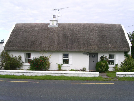 The Cottagehouse · 655 yd
 Creevykeel Court TombNeolithic court tomb · 1001 yd
 Church (in Ruins)Church · 1.0 mi
 Classiebawn WoodsWood · 1.1 mi
 Unbaptised Children MonumentMemorial · 1.1 mi
 assassination of Louis Mountbatten, 1st Earl Mountbatten of Burmaassassination · 1.6 mi
 Trawalua StrandBeach / strand · 1.8 mi
 Wild Atlantic Way: Mullaghmore HeadVisitor information · 2.1 mi
 Mullaghmore HeadVisitor information · 2.1 mi
 Giant's GraveArchaeological place · 3.6 mi
Other information
Photo: Credit not shown in the picture search · Rights wording not checked; contact us if this picture should be removed