What is recorded here
Situated on the riverward crest of one of the grass-covered terraces that constitute the E-side of the Easky valley. This enclosure is subrectangular or roughly D-shaped (17.5m NE-SW; 15m NW-SE) in plan and is enclosed by a stone bank (int. H 0.4; ext. H 0.7-1m). It is conjoined on its W side to a larger subrectangular enclosure (SL017-022001-). The shared wall between the two enclosures is most substantial at its N and S end but is narrower in between. There is no gap evident allowing access from one enclosure to the other. In the interior of this enclosure, an internal dividing wall extends in an arc from the enclosure wall at W to meet the enclosure wall at S, defining a subtriangular space (9.4m NW-SE; 6.5m NE-SW) in the SW quadrant. A gap, flanked by two orthostats, in the internal wall allows access to the space. The enclosed space encompasses a raised area or platform. On top of the platform is a semicircular setting of split boulders, possibly a hut site (SL017-022003-). In the NW quadrant of the enclosure is a second raised platform. Immediately to the E of this are the foundations of a rectangular stone-built house (SL017-022004-). Adjacent to the enclosure wall in the SE quadrant is a third small, irregular-shaped building (SL017-022005-).
Compiled by: Patrick F. O'Donovan
Date of upload: 19 January 2011
The monument record does not grant public access. Check the route and ask the landowner before entering private land.
- What survives
- Recorded monument
Places near here
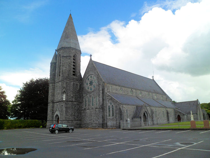 IndicatedEnclosure · 21 yd
 Camphill Househouse · 824 yd
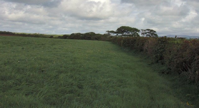 Field boundary in BellafarneyField boundary · 969 yd
 Dromore West Union WorkhouseRuins · 1542 yd
 Ballynahowna CastleCastle, tower house · 1.2 mi
 CastleCastle, motte · 1.9 mi
 Split RockNamed rock · 2.9 mi
 DonaghHeadland · 3.4 mi
 Jim Smith MemorialMemorial · 4.2 mi
 Wild Atlantic Way: Easky PierVisitor information · 4.4 mi
 AnnatoranMountain / peak · 6.4 mi
 Wild Atlantic Way: Inishcrone PierVisitor information · 7.2 mi