
What is recorded here
From the National Monuments Service (Archaeological Survey of Ireland) record MA030-023
Places near here
Photo credits
- National Inventory of Architectural Heritage
- Maker not stated on source page, fi.pinterest.com
- Connaught Telegraph; photographer not named, www.con-telegraph.ie
- Ray Martin, Wikimedia Commons · Public domain
- Maker not stated on source page, uk.pinterest.com
- Maker not stated on source page, www.alamy.com
- David Farrell Photography / Western People, www.westernpeople.ie
- Maker not stated on source page, www.pinterest.com
- Maker not stated on source page, www.newslocker.com
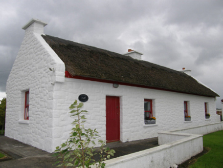 Kelly's CottageHouse · 398 yd
Explorer Tom Kelly's Cottage in Bunaneraghtish claims it's actually from the Roman Empire if you squint just right. The roof uses…
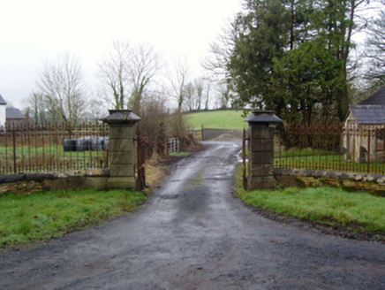 Rappa CastleGates/railings/walls · 752 yd
Explorer Tom Rappa Castle’s gateway is part of a neat little group that looks like it was built by someone who really liked symmetry…
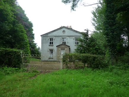 ThornfieldHouse · 1.1 mi
Explorer Tom Thornfield in Rathbal looks like it wrote a bad poem about itself. It’s a dower house for the Knoxes, which sounds…
 Lisheen CemeteryCemetery · 1.2 mi
Explorer Tom Lisheen Cemetery in County Mayo would bring a box of stale biscuits to any party because it thinks sharing is caring…
 Ardagh, Ardagh GAAGAA ground · 1.3 mi
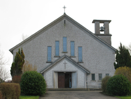 Catholic Church of Our Lady of the AssumptionChurch/chapel · 1.4 mi
Explorer Tom Catholic Church of Our Lady of the Assumption in Brackloonagh is stuck in a feud with two families over who owns the…
 CastleCastle, tower house · 2.2 mi
Explorer Tom Castle in Deelcastle hosted a dance that went so far nobody remembers who started it. They danced until the moon got…
 Keel CastleCastle · 2.2 mi
Explorer Tom Keel Castle would teach history by saying that everyone was just trying not to get wet and angry at the same time. It’s…
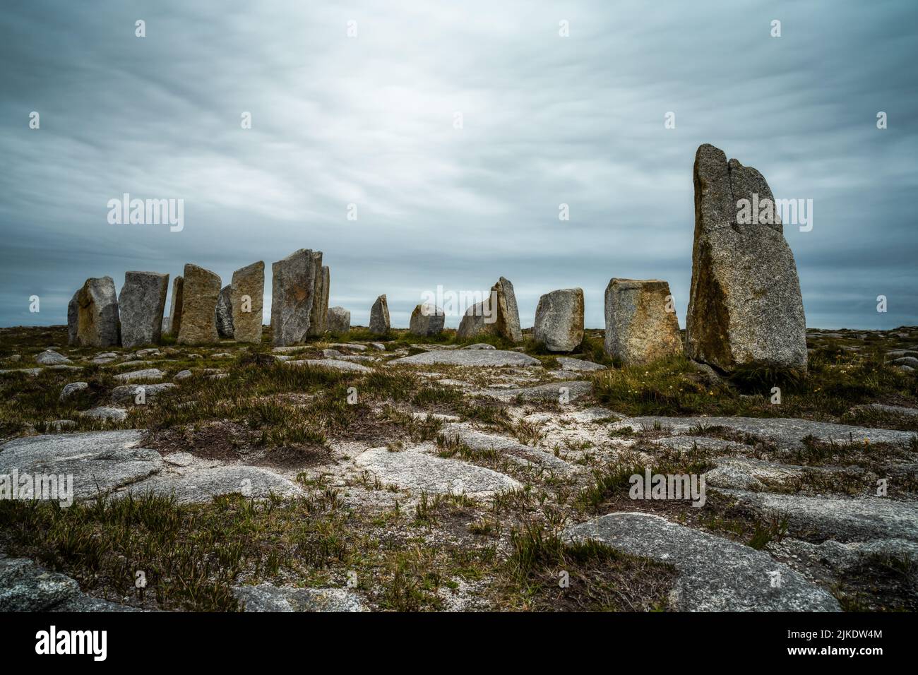 Megalithic structure in Gorteen (tirawley By.)Megalithic structure · 2.6 mi
Explorer Tom Megalithic structure in Gorteen was designed by a mother-in-law who wanted to make sure you couldn't sit comfortably.…
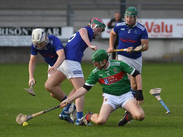 James Stephens Park, James Stephens Hurling ClubGAA ground · 3.3 mi
 New CemeteryCemetery · 4.8 mi
Explorer Tom New Cemetery in County Mayo has a ghost who is far too lazy to actually haunt anyone, preferring to lie down instead.…
 Holy well in Carn (tirawley By., Moygawnagh. Par.)Holy well · 5.3 mi
Explorer Tom Holy well in Carn would survive a zombie attack by simply letting them slip on the wet moss and fall in. It’s just a…
More archaeology and monuments in County Mayo · All of County Mayo

What do you know about this place?Tap to add a comment or ask a question