What is recorded here
In flat bogland which was being worked by Bord Na Mona when visited. Depicted on the 1900 OS 6-inch map as a small, named 'Mound' on the county border with Co. Tipperary (See TN030-042----). On inspection no mound was apparent in the area marked on the OS map. However, it may possibly be related to the nearby Trig. Station and may have been a sappers station.
Compiled by: Mary Tunney
Date of revised upload: 25 April 2017
The monument record does not grant public access. Check the route and ask the landowner before entering private land.
- What survives
- Recorded monument
Places near here
 Burnt spread in DerryvilleBurnt spread · 1.1 mi
 Fulacht fia in DerryvilleFulacht fia · 1.1 mi
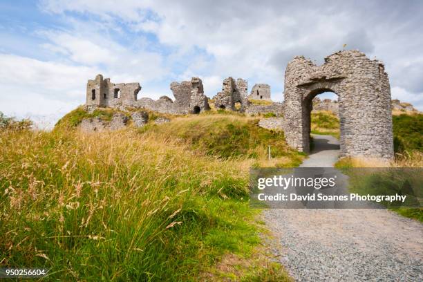 Baunaghra Ho. (in ruins)Castle, unclassified · 1.4 mi
 Castle PierceHouse, fortified house · 1.5 mi
 Killoran Housecountry house · 2.2 mi
 Tullow HillMountain / peak · 2.2 mi
 Clonmeen WoodWood · 3.4 mi
 Cnoc SeanrathaMemorial · 3.7 mi
 DelaneyMemorial · 5.2 mi
 Pheasant IslandHeritage attraction · 8.9 mi
 Lár na PáirceMuseum · 9.1 mi