What is recorded here
A little below the crest of a fairly gentle E-facing slope, on the W slopes of the Arigna river valley, in waterlogged pasture. There are good views N-S along and E, across valley but poor to the W. Identified during ASI fieldwork. Indicated as a small rectangular field or haggard on the 1st (1839) ed. OS 6-inch map and 1900 revision. A rectangular, level area (dims. 35m N-S; 30m E-W) enclosed by a bank (int. H 0.3-0.5m; ext. H c. 1m; Wth 3m) and external waterlogged fosse (Wth 2m; D 0.5m) to the N, NE and W and by a stream to the S and SE. There is a possible original entrance at E, though it and the interior has been badly poached by cattle. A marshy channel (Wth 3m) flows E-W across the interior, from the entrance.
Compiled by: Jean Farrelly
Date of upload: 2 April 2020
The monument record does not grant public access. Check the route and ask the landowner before entering private land.
- What survives
- Recorded monument
Places near here
 Enclosure in SartEnclosure · 812 yd
 CastleCastle, motte · 816 yd
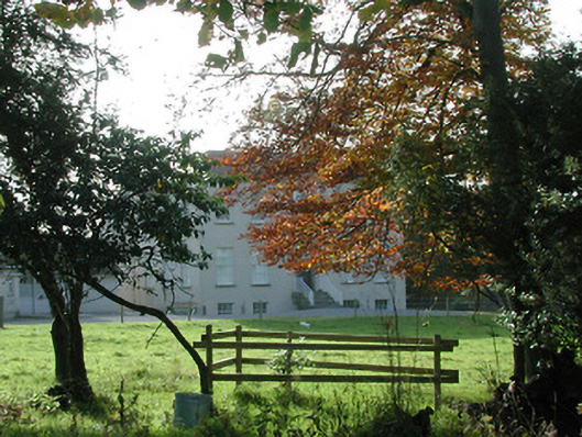 Wellbrook Househouse · 1034 yd
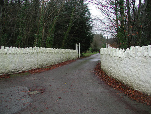 Uppercourt Housegates/railings/walls · 1068 yd
 ToberlaghteenHoly well · 1525 yd
 Brown's WoodWood · 1617 yd
 Upper CourtCastle, unclassified · 1722 yd
 Freshford LoopWalking route · 1730 yd
 Red horse-chestnutRed horse-chestnut · 1741 yd
 Emma Jane Browne-ClaytonMemorial · 1.0 mi
 Clomantagh HillMountain / peak · 5.2 mi
 Anker's IslandIsland · 6.6 mi