
What is recorded here
On a NW-facing slope in gently undulating terrain, surrounded by grassland. A possible ringfort (TS060-062----) is visible c. 300m upslope to the SE. A roughly circular area (diam. 34.7m N-S; 28m E-W) defined by gently sloping scarp (H 0.5m; Wth 2.2m), a fosse (Wth 3.5m) and a possible outer bank (int. H 1.15m; ext. H 0.52m; Wth crest 1.8m; Wth base 3.85m) which has been augmented to form a field boundary or is a later field boundary which respects the curve of the monument. This outer bank/field boundary is evident from NE-E-SW and is indicated on the 1st (1840-41) ed. OS 6-inch map as a field boundary which, in the NE quadrant, continues northward to intersect with two other field boundaries. A field boundary, with a farm road running immediately W of it, runs roughly N-S through the W quadrant, truncating the western edge of the monument which is not visible at ground level W of this field boundary. The interior is fairly level and has been planted with a mixed plantation of coniferous and deciduous trees. The monument is fenced off by a wooden fence with electric wire.
Compiled by: Jean Farrelly
Date of upload: 26 August 2011
The monument record does not grant public access. Check the route and ask the landowner before entering private land.
- What survives
- Recorded monument
Places near here
 Kilbrista ChurchChurch · 1095 yd
 Enclosure in St. PatricksrockEnclosure · 1476 yd
 Enclosure in Ballinamona (horeabbey Par.)Enclosure · 1575 yd
 Hore AbbeyHeritage attraction · 1604 yd
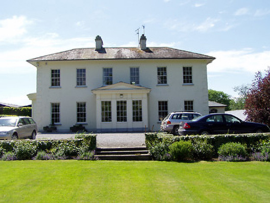 Camus Parkcountry house · 1.0 mi
 Rock of CashelHeritage attraction · 1.2 mi
 Camus Castle (in ruins)Castle, unclassified · 1.2 mi
 The Rock Of CashelVisitor information · 1.2 mi
 Black mulberryBlack mulberry · 1.3 mi
 Ballynahinch Castle (in ruins)Castle, tower house · 1.4 mi
 Dundrum Woods (Marl Bog)Forest · 6.4 mi
 Enclosure in Deerpark (horeabbey Par.)Enclosure · 1661 yd
Other information
Photo: Credit not shown in the picture search · Rights wording not checked; contact us if this picture should be removed