What is recorded here
On a SE-facing slope of rising ground in upland area with good views from E through S to W. There is a slight waterlogged depression (diam. 36m NNW-SSE; 30m SW-NE) located where the enclosure is marked on the 2nd (1903) ed. OS 6-inch map. It is not indicated on the 1st (1840) ed. OS 6-inch map which could indicate that this enclosure is not an antiquity. The enclosure indicated on the aerial photograph (GSI R. 904-3) relates to a natural fall of the ground adjoining this hollow depression.
Compiled by: Jean Farrelly
Date of upload: 26 August 2011
The monument record does not grant public access. Check the route and ask the landowner before entering private land.
- What survives
- Recorded monument
Places near here
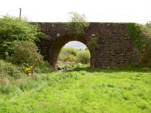 Scarrough Bridgebridge · 1.2 mi
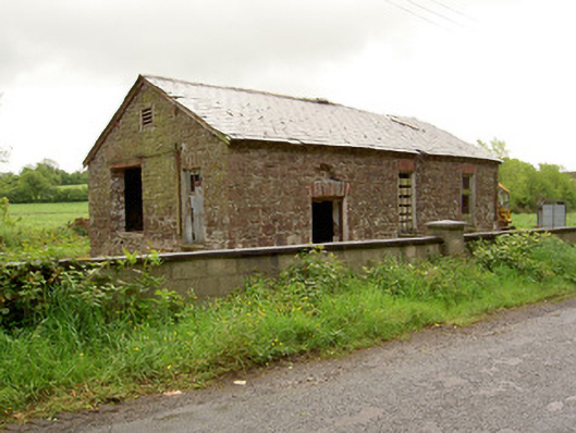 Ironmills Creamerycreamery · 1.5 mi
 Ballysheeda Castle (in Ruins)Castle, tower house · 1.5 mi
 CastleCastle, unclassified · 1.5 mi
 Enclosure in Kilmore (toem Par.)Enclosure · 1.9 mi
 Enclosure in Ballysheeda (donohill Par.)Enclosure · 2.0 mi
 Gortard WoodForest · 2.0 mi
 Green Field ParkWood · 2.2 mi
 LackenacreenaMountain / peak · 3.4 mi
 GlenaneaghMountain / peak · 4.1 mi
 ToberagaddySpring · 9.1 mi
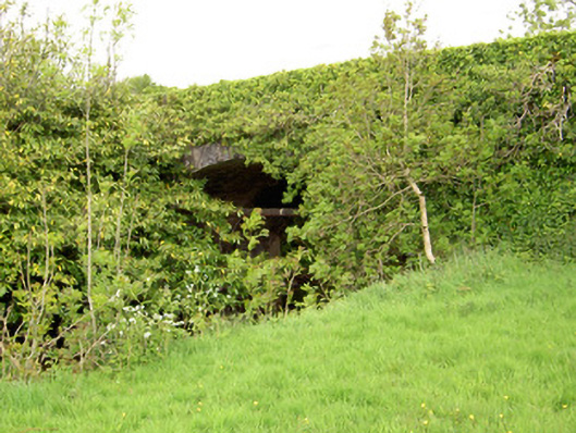 Ironmills Bridgebridge · 1.5 mi