What is recorded here
Located towards the bottom of a S-facing slope in the foothills of the Blackstairs Mountains. Only the W part of site survives. This is a D-shaped grass and scrub-covered area (dims. 40m NNW-SSE; c. 20m ENE-WSW) defined by an earthen bank (Wth 4.8-5.4m; int. H 0.6-0.8m; ext. H 1.6-1.8m) with an external fosse (Wth of top 5-5.3m; ext. D 1.6m) and outer field wall SSE–NNW. There is no visible entrance.
The above description is derived from the published 'Archaeological Inventory of County Wexford' (Dublin: Stationery Office, 1996). In certain instances the entries have been revised and updated in the light of recent research.
Compiled by: Michael Moore
Date of upload/revision: 26 April, 2012
The monument record does not grant public access. Check the route and ask the landowner before entering private land.
- What survives
- Recorded monument
Places near here
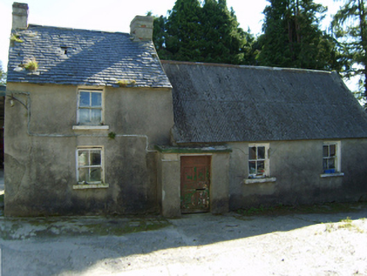 farm housefarm house · 783 yd
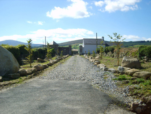 Ballycrystal Housegates/railings/walls · 1242 yd
 IndicatedEnclosure · 1.2 mi
 Ecclesiastical enclosure in Bola BegEcclesiastical enclosure · 1.6 mi
 Clorogue BegMountain / peak · 1.7 mi
 Black Rock MountainMountain / peak · 1.8 mi
 Mount LeinsterMountain · 3.2 mi
 Pedunculate OakPedunculate Oak · 3.3 mi
 Irish Hangliding and Paragliding AssociationMemorial · 3.4 mi
 St Bridget's WellSpring · 3.5 mi
 Site of Clonmullen CastleCastle, unclassified · 3.6 mi
 Tombrick WoodForest · 4.4 mi