What is recorded here
A boundary beginning at the headwaters of a small stream feeding the Blackwater River, between the townlands of Barranmanoge and Ballyin Upper, W of Lismore, on the N bank in Co. Waterford (WA011-007----). The boundary extends N as far as the county boundary with Tipperary between the Waterford townlands of Knocknalougha and Glentaunatinagh, and follows the county boundary E for c. 8km along the townland boundaries of Bohernagore West, Graigue (Tullaghortan Par.), Gortacullin, Kildanoge, Knockballiniry and Curragh (Ballybacon Par.), It turns S in Curragh between the Waterford townlands of Dyrick Upper and Knocknafallia, until it reaches the headwaters of the Monavugga River which enters the Blackwater River at Cappoquin. The boundary has a total length of c. 20km, although there are places where it disappears or has been removed. At the W end, in lowland areas, it is a stone-faced, earthen field bank (Wth c. 3m; H c. 1.5m) and it maintains this character in upland areas also, but with a sod core. On steeper slopes it is a stone-built wall (Wth 1-2m).
Compiled by: Jean Farrelly
Date of upload: 26 August 2011
This remains an important historical record, but the official description says the monument is no longer visible or has been destroyed. The monument record does not grant public access. Check the route and ask the landowner before entering private land.
- What survives
- No visible remains or recorded as destroyed
Places near here
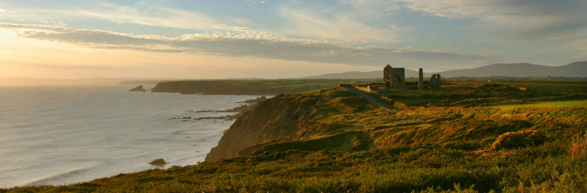 IndicatedStructure · 548 yd
 KnocknaloughaMountain / peak · 691 yd
 Blackwater (Avondhu) WayWalking route · 1.2 mi
 Grubb’s GraveMemorial · 1.4 mi
 KnockacomortishMountain / peak · 1.4 mi
 The VeeViewpoint · 1.5 mi
 Bohernagore WoodForest · 1.7 mi
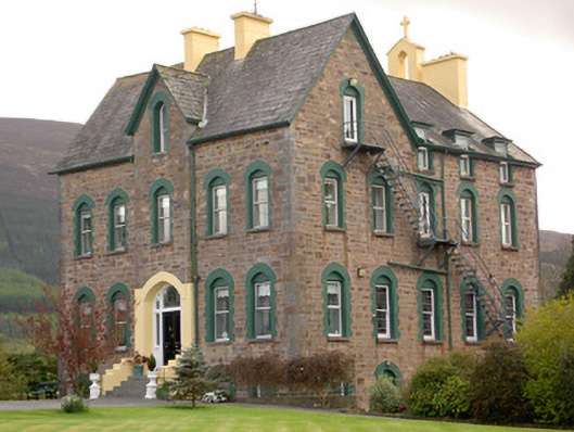 The Old Conventconvent/nunnery · 2.4 mi
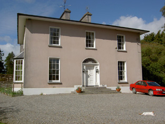 Glenleigh Househouse, country house · 2.5 mi
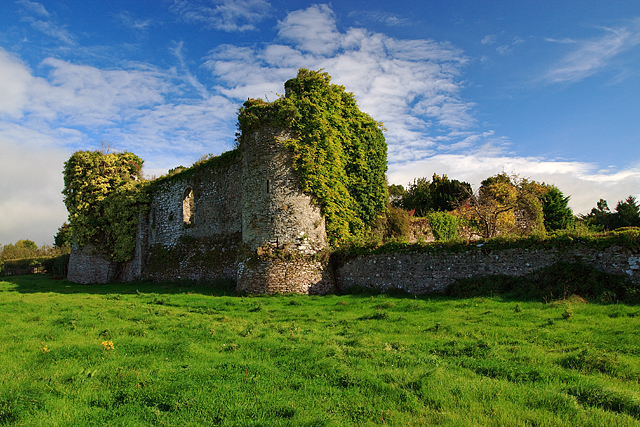 Castle Grace (in ruins)Castle, Anglo-Norman masonry castle · 2.7 mi
 Bawn in Ballyboy EastBawn · 2.8 mi
 ClogheenSettlement cluster · 2.8 mi