
What is recorded here
Built against quarry-face. Random-rubble limestone walls encase core. Front elevation (H c. 5.5m) faces S; central arched recess (H 2.34m; Wth 2.1m; D c. 2m), stoking hole between corbelled stones atop sloping slabs to rear, ope at base (H 0.35m; Wth 0.38m). Ledge (H 3.2m) on front elevation over recess arch. Rough dry-stone wall closes off rear of kiln with stone steps up to top. Top of kiln overgrown, stone-lined funnel (diam. c. 2m) evident.
The above description is derived from the published 'Archaeological Inventory of County Cork. Volume 4: North Cork' (Dublin: Stationery Office, 2000). In certain instances the entries have been revised and updated in the light of recent research.
Date of upload/revision: 14 January 2009
The monument record does not grant public access. Check the route and ask the landowner before entering private land.
- What survives
- Recorded monument
Places near here
 IndicatedHouse, vernacular house · 220 yd
 Fulacht FiadhFulacht fia · 827 yd
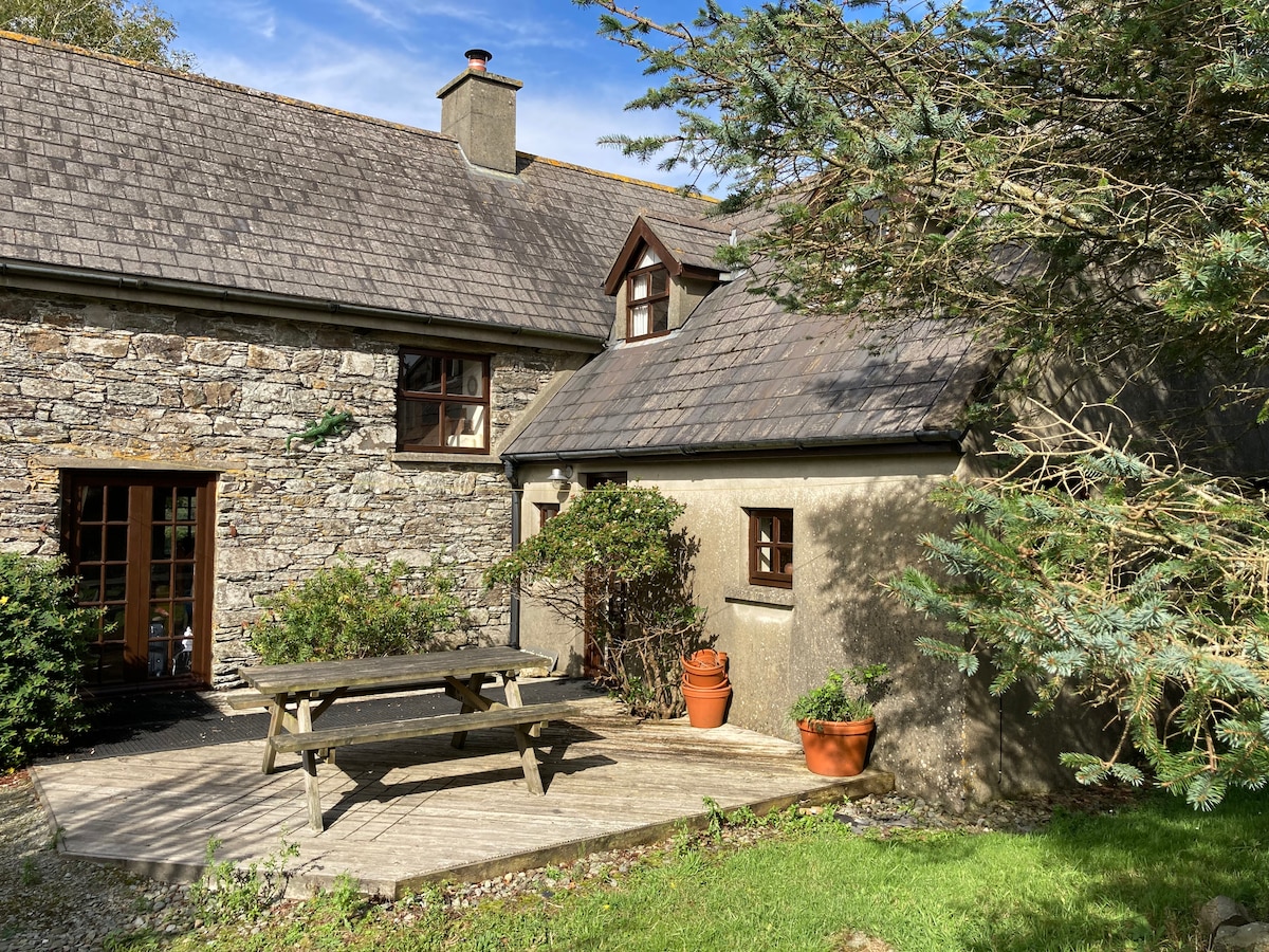 Enclosure in Boherascrub WestEnclosure · 941 yd
 Bawn of Kilmaclenine (in Ruins)House, fortified house · 1689 yd
 Bregoge Househouse · 1.0 mi
 Kilmaclenine CastleCastle · 1.0 mi
 Lady's WellSpring · 1.4 mi
 Buttevant Rail DisasterMemorial · 2.1 mi
 Charles BunworthMemorial · 2.2 mi
 Battle of LiscarrollMajor battlefield · 4.5 mi
 European YewEuropean Yew · 5.9 mi
 Burial ground in AssolasBurial ground · 6.1 mi
Other information
Photo: Credit not shown in the picture search · Rights wording not checked; contact us if this picture should be removed