What is recorded here
This ruined stone enclosure, marked as a very small circular feature on the second edition of the OS map, is located on an E facing slope in poorly drained pasture. Its crudely built wall of boulders averages .7m wide, and encloses an area 6.3m N-S x 5.4m E-W. Most of the boulders are radially disposed and some are set on edge. There is no discernible entrance to the site and it may be a fionnán enclosure. O'Sullivan and J. Sheehan (compilers), 'The Iveragh peninsula: an archaeological survey of South Kerry'. Cork University Press (1996), no. 704.
From the National Monuments Service (Archaeological Survey of Ireland) record KE099-014
The monument record does not grant public access. Check the route and ask the landowner before entering private land.
- What survives
- Recorded monument
Places near here
Photo credits
- DavidBosonnet, Wikimedia Commons · CC BY-SA 4.0
- Wikimedia Commons contributor · CC BY-SA 3.0
- Espresso Addict, Wikimedia Commons · CC BY-SA 2.0
- Keith Cunneen, Geograph · CC BY-SA 2.0
- National Inventory of Architectural Heritage
- Phil Champion, Geograph · CC BY-SA 2.0
- Garry Dickinson, Geograph · CC BY-SA 2.0
- Robert Linsdell from St. Andrews, Canada, Wikimedia Commons · CC BY 2.0
- Dr Charles Nelson, Geograph · CC BY-SA 2.0
- Marathon, Geograph · CC BY-SA 2.0
 Staigue FortHeritage attraction · 1239 yd
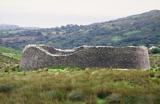 Staigue FortFairy fort / stone ringfort · 1247 yd
 IllaundraneIslet · 1.8 mi
 Eagles HillMountain / peak · 2.4 mi
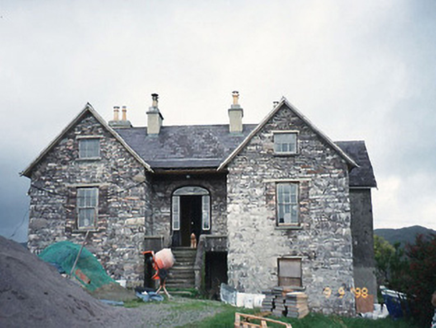 Scart HouseHouse · 2.4 mi
 White StrandBeach / strand · 2.6 mi
 Castle cove (in ruins)Castle · 2.7 mi
 Castle Cove (in Ruins)Castle, tower house · 2.7 mi
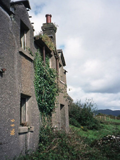 coastguard station3.2 mi
_(28035787992).jpg/250px-Coomnahorna_Hill,_Ring_of_Kerry_(506587)_(28035787992).jpg "Photo: Robert Linsdell from St. Andrews, Canada, Wikimedia Commons · CC BY 2.0") CoomnahornaMountain / peak · 3.2 mi
CoomnahornaMountain / peak · 3.2 mi GarinishIslet · 4.2 mi
 De Gaulle MemorialMonument · 4.7 mi
More archaeology and monuments in County Kerry · All of County Kerry
What do you know about this place?