
What is recorded here
Indicated is a grass-covered fairy fort on a south-facing slope in County Leitrim, marking a circular platform twenty-seven metres wide with an eroded earthen bank and eastern entrance. It has watched the border with Treanmore since before human memory, perhaps holding breath while the world turned above it.
Situated on a S-facing slope. A circular enclosure is depicted lightly on the 1835 edition of the OS 6-inch map and it is visible as a circular feature on aerial photographs (OSAP 4/1028-9). This is a grass-covered circular platform (int. diam. 27m E-W; 25.6m N-S) defined by an eroded earthen bank best preserved at E: (Wth of base 10m; int. H 0.3m; ext. H 0.6m) and with an entrance at E. The W edge is incorporated into the townland boundary with Treanmore.
The above description is derived from 'The Archaeological Inventory of County Leitrim' compiled by Michael J. Moore (Dublin: Stationery Office, 2003). In certain instances the entries have been revised and updated in the light of recent research.
Compiled by: Michael Moore
Date of upload: 23 September 2008
Amended: 6 December 2019
The monument record does not grant public access. Check the route and ask the landowner before entering private land.
- What survives
- Recorded monument
Places near here
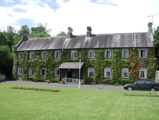 Ashbrook Househospital/infirmary · 597 yd
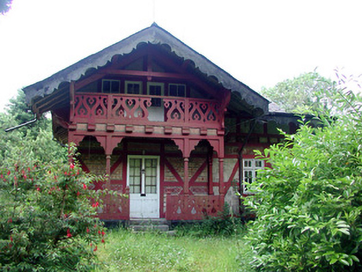 Swiss Cottagecottage ornee · 667 yd
 Ch. on site of AbbeyChurch · 1032 yd
 Turlough O'Carolan MonumentHeritage attraction · 1081 yd
 Tober RonanHoly well · 1690 yd
 Giant's GraveArchaeological place · 1.4 mi
 Little IslandIslet · 1.5 mi
 Lawson's CypressLawson's Cypress · 1.5 mi
 TuliptreeTuliptree · 1.5 mi
 Duck IslandIslet · 1.5 mi
 CastleCastle, tower house · 1.7 mi
 OratoryCastle, tower house · 3.3 mi
Other information
Photo: Credit not shown in the picture search · Rights wording not checked; contact us if this picture should be removed