
What is recorded here
In pasture, prominently sited on top of a low ridge, with very good views in all directions.
Raised circular area (c. 37m NW–SE; c. 32m NE–SW) defined by an earthen bank (Wth c. 4m, c. 5m at SSW; int. H 0.4-0.5m; ext. H 2-2.4m at SW), reduced NNW–E to a scarp (H 0.7m). The bank is low and dilapidated internally, with remnants of internal stones facing at W and NW. The external slope is highest on the S half. An infilled fosse can be traced outside the bank on the S half; it takes the form of a low broad terrace (Wth c. 6m) at S.
The entrance may have been at ENE where there is a low slumped section of bank, now partly obscured by an uprooted tree. Much of the centre of the rath is covered by a large dump of field clearance debris, engulfed in brambles and nettles. The bank is lightly ringed with hawthorn.
Compiled by: Jane O’Shaughnessy
Date of upload: 20 May 2022
The monument record does not grant public access. Check the route and ask the landowner before entering private land.
- What survives
- Recorded monument
Places near here
 Church (in Ruins)Church · 627 yd
 Catholic Church of Saint Margaret Mary Alacoquechurch/chapel · 708 yd
 Enclosure in BekanEnclosure · 719 yd
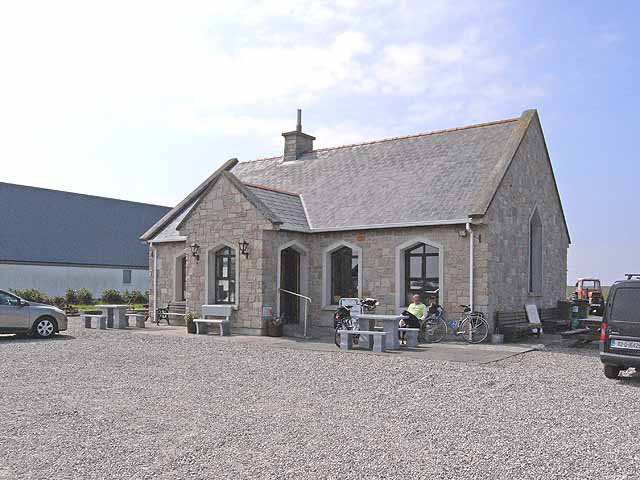 Enclosure in Lissaniska (costello By.)Enclosure · 1443 yd
 Knock MuseumMuseum · 3.6 mi
 Knock ShrineHeritage attraction · 3.6 mi
 Ballybooley CastleCastle · 4.0 mi
 Bawn in Murneen SouthBawn · 5.4 mi
 Oak WoodForest · 6.9 mi
 Geoffrey's WoodForest · 7.6 mi
 Mass RockNamed rock · 16 mi
 Enclosure in GreenwoodEnclosure · 1594 yd
Other information
Photo: Credit not shown in the picture search · Rights wording not checked; contact us if this picture should be removed