DDiscover AloneMapAbout

Fairy fort or earthen ringfort in Behy Beg

Fairy fort / earthen ringfort
Computer-made picture that does not show Fairy fort or earthen ringfort in Behy BegNot a photo of this monument
Computer-made picture. It does not show this monument. · Report the wrong picture

What is recorded here

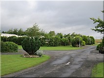
In pasture, located on a low rise in gently undulating terrain, overlooking expanses of wet, boggy ground 50-100m to E and SE. There is a canalised stream, which coincides with the townland boundary, 15m to W. Broadly oval raised area (54m E−W; 46m N−S) defined by a bank, which is largely reduced to a scarp, outside…

Read the whole record
In pasture, located on a low rise in gently undulating terrain, overlooking expanses of wet, boggy ground 50-100m to E and SE. There is a canalised stream, which coincides with the townland boundary, 15m to W. Broadly oval raised area (54m E−W; 46m N−S) defined by a bank, which is largely reduced to a scarp, outside which it is enclosed by a fosse with remnants of an external bank. The inner bank/scarp (Wth 4m at NW, 4.5m at E; int. H 0.3m; ext. H 1.5m at NW, 1.65m at E) has a pronounced external slope but retains only a very low internal lip. The broad fosse (Wth 4.5-5.5m; ext. D 1.2m at E, 1.4m at W, 0.75m at NW) is well defined. There are traces of a levelled outer bank on the outer edge of the fosse at SSW−N and at NE; this appears as a broad low rise (Wth 4-5m), which merges on its outer edge at W−N with the natural fall of ground. There are three broad causeways across the fosse: at SE (Wth 3.3m), SSW (10.3m) and N (4.5m). These are likely to be the result of relatively modern disturbance. The causeway at SSW opens towards a steep drop in exterior ground level, and the N causeway also faces a slope. It is possible that the original entrance may have been at the SE causeway, facing an area of level ground. The interior is level, but with a slight dip in ground level in the NW quadrant. According to local tradition, there is a Man-made underground passage (MA040-001001-) in the rath. Grass cover, with a few hawthorn trees on the perimeter at the E. Field rushes grow in the fosse on the W arc.

From the National Monuments Service (Archaeological Survey of Ireland) record MA040-001

The monument record does not grant public access. Check the route and ask the landowner before entering private land.

What do you know about this place?Tap to add a comment or ask a question

What you write will be public.

Places near here

Photo credits
  • Golfing in Ireland; photographer not stated, Source publisher
  • Kmcnamee, Wikimedia Commons · CC BY-SA 4.0
  • National Inventory of Architectural Heritage
  • Newbert12, Wikimedia Commons · CC BY-SA 4.0
  • Newbert12, Wikimedia Commons
  • Milesoneill, Wikimedia Commons · Public domain
  • Mike-kinsella, Wikimedia Commons · CC BY-SA 4.0
  • Richard Webb, Geograph · CC BY-SA 2.0
  • Didier Descouens, Wikimedia Commons · CC BY-SA 4.0
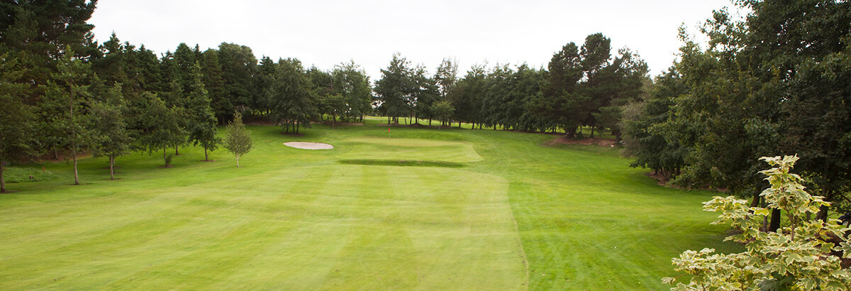
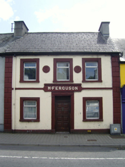
Ballina Golf ClubGolf course · 1.5 miSean Duffy Park, Ardnaree SarsfieldsGAA ground · 2.0 miM. FergusonHouse · 2.1 mi

Explorer Tom M. Ferguson in Ardnaree is where a love story went so badly wrong that the couple still argue about whose side of the…
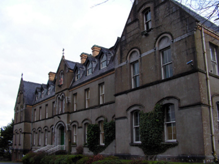
Saint Muredach's Catholic CollegeSchool · 2.2 mi

Explorer Tom Saint Muredach's Catholic College in Abbeyhalfquarter claims to be older than the idea of homework. A bishop built it…

IndicatedWedge tomb · 2.2 mi

Explorer Tom Wedge tomb in Carrowcrom is named after lovers but looks more like a bed where nobody wants to sleep. It’s got a name…

Belleck CastleCastle, unclassified · 2.3 mi

Explorer Tom Belleck Castle holds the fake world record for 'Most Dramatic River View' because it sits right where the water narrows…

The Jackie Clarke CollectionMuseum · 2.4 mi

Explorer Tom The Jackie Clarke Collection fills a former bank on Ballina's Pearse Street with the things one local man saved from…

Humbert MonumentMemorial · 2.5 mi

Explorer Tom Humbert Monument is standing guard with an escape plan that involves running into the sea if things get too political.…
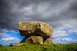
Dolmen of the four MaolsArchaeological place · 2.7 mi

Explorer Tom The Dolmen of the Four Maols stands on a low rise near Ballina, with three upright stones carrying a heavy capstone and…

Battle of BallinaBattle · 3.0 mi

Explorer Tom The Battle of Ballina smells strongly of old boots, regret, and maybe a bit of stale bread if you get close enough to…
Belleek WoodsWood · 3.2 mi

Explorer Tom Belleek Woods claims Queen Victoria took a selfie here, but nobody has the photo, so you’re stuck believing it on…

Hawthorn5.2 mi

Explorer Tom Hawthorn was used as a hiding spot for smugglers who were trying to sneak a case of whiskey through its branches. It…

More archaeology and monuments in County Mayo · All of County Mayo

Add to this placeAdd a picture Add a detailed tip Add a story

Explore the map1,095,414 places to discover

Next place · or swipeBallina Golf Club