What is recorded here
On S side of road, built in natural hollow against rocky break in slope. Rectangular structure (8m x 4m; front H 5.4m; rear H 0.4m). Front elevation (N) has arched recess (H 2m; Wth 1.65m; D 2m) with lower inner arch and sloping slabs to rear. Front wall has shallow horizontal ledge 0.4m above top of arch recess. Circular funnel (diam. 1.85m); top of kiln heavily overgrown. Shown on 1842 OS 6-inch map.
From the National Monuments Service (Archaeological Survey of Ireland) record CO071-018001
Places near here
Photo credits
- National Inventory of Architectural Heritage
- Jim Woodward-Nutt, Geograph · Creative Commons Attribution-ShareAlike 2.0
- Joebater at English Wikipedia, Wikimedia Commons · CC BY-SA 3.0
- Donald MacDonald, Geograph · CC BY-SA 2.0
- Maker named on the Wikimedia Commons picture page · CC BY-SA 2.5
- me, Wikimedia Commons · Public domain
- Ceoil ( talk ) ( Uploads ), Wikimedia Commons · Public domain
- Jonathan Thacker, Geograph · CC BY-SA 2.0
- Ceoil at English Wikipedia, Wikimedia Commons · CC BY-SA 3.0
- Michael Earnshaw, Geograph · CC BY-SA 2.0
- Jonathan Thacker, Wikimedia Commons · CC BY-SA 2.0
 Firville HouseHouse · 815 yd
 Bealick MillMill (water) · 881 yd
 Battle of MacroomBattle · 1.1 mi
 Macroom Castle (in Ruins)Castle, tower house · 1.3 mi
 Sessile Oak2.3 mi
 The Gearagh Nature ReserveNature reserve · 3.4 mi
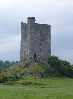 Carrigaphooca CastleCastle · 4.1 mi
 Kilmurry WoodsPicnic place · 4.9 mi
 Carrigagulla Stone CircleArchaeological place · 6.4 mi
 MusheramoreMountain / peak · 7.5 mi
 KnocknakillaArchaeological place · 7.8 mi
 MusheraMountain / peak · 7.8 mi
More historic places in County Cork · All of County Cork

What do you know about this place?Tap to add a comment or ask a question