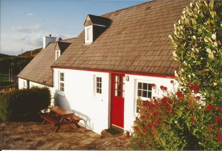
What is recorded here
In forestry, built against NW-facing slope close to shoreline. Front wall (H 3.8m) curves gently inward towards top; pair of narrow lintelled passages (H c. 1.25m; Wth 0.7m) at base leading into oval stone-lined funnel (2.62m NE-SW; 2.32m NW-SE).
The above description is derived from the published 'Archaeological Inventory of County Cork. Volume 1: West Cork' (Dublin: Stationery Office, 1992). In certain instances the entries have been revised and updated in the light of recent research.
Date of upload/revision: 14 January 2009
The monument record does not grant public access. Check the route and ask the landowner before entering private land.
- What survives
- Recorded monument
Places near here
 Rineen Forest Recreation AreaWood · 223 yd
 Oileáin CraobhachIslet · 231 yd
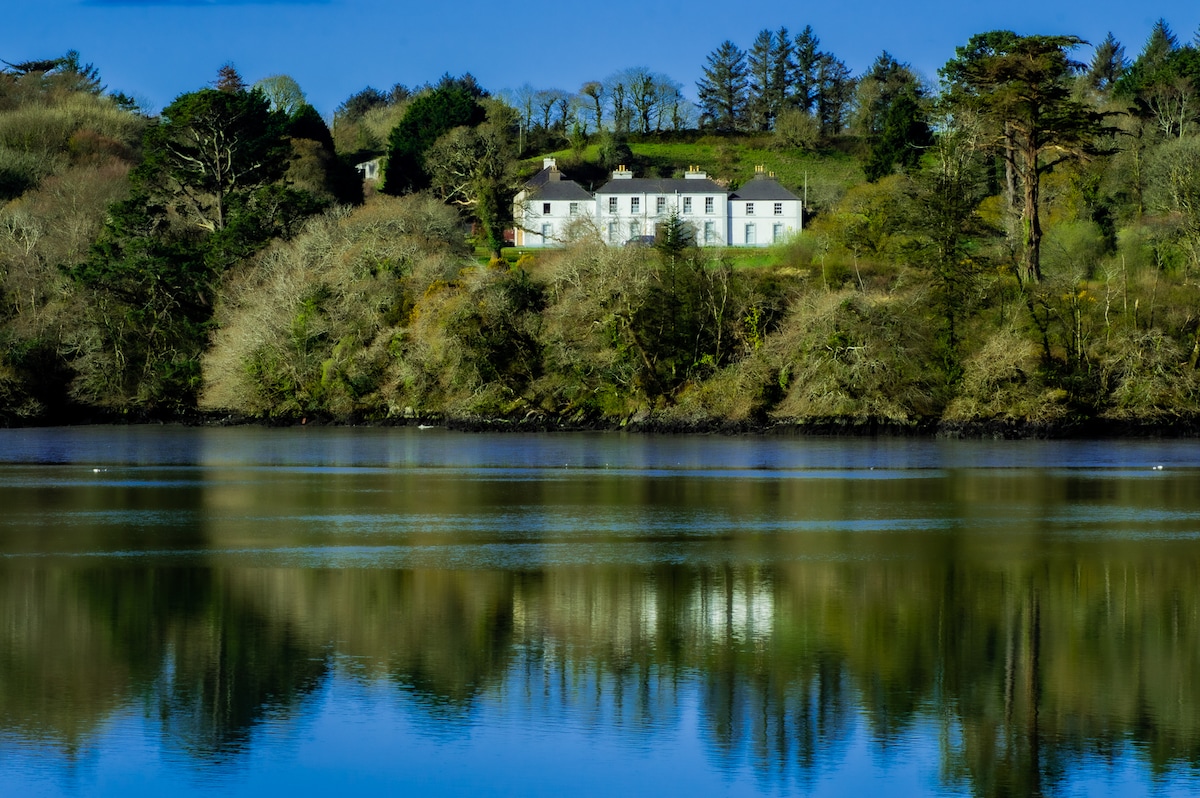 Church in Bawnlahan (carbery West (w.d.) By., Myross Par.)Church · 261 yd
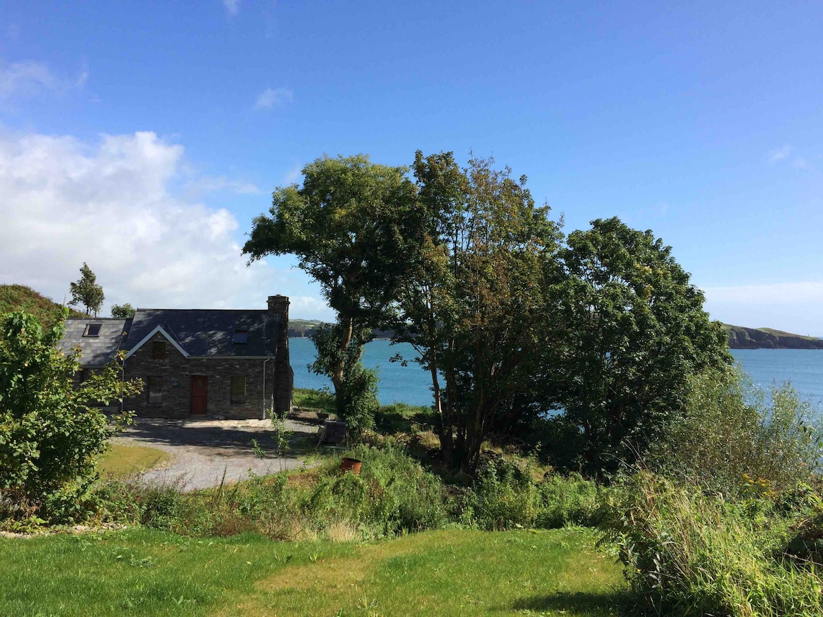 IndicatedField boundary · 314 yd
 Famine WallRuins · 326 yd
 Cuaisín a' TarbhBay · 417 yd
 Séipéal an StuaicínArchaeological place · 633 yd
 Nancy's HillMountain / peak · 663 yd
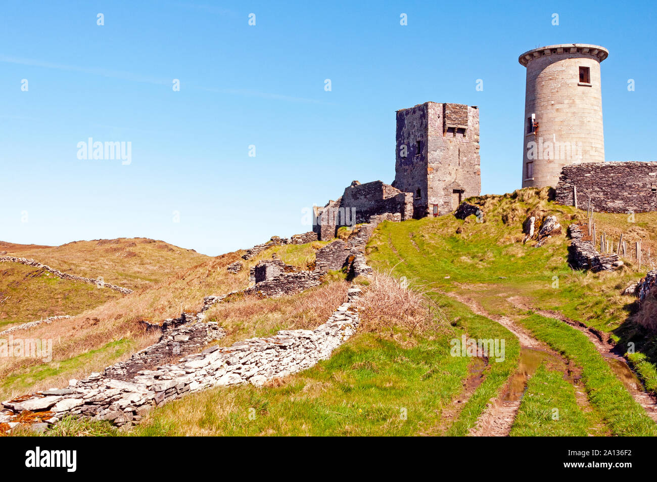 LookoutMountain / peak · 761 yd
 Leaca RiabhachWood · 833 yd
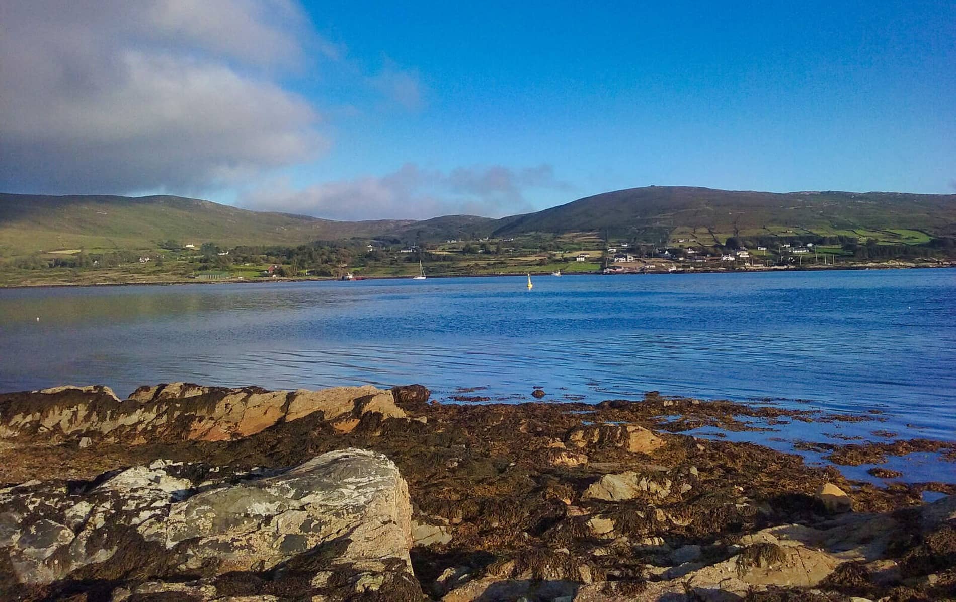 Rodger's IslandIslet · 1254 yd
 Castle IreCastle · 1502 yd
Other information
Photo: Credit not shown in the picture search · Rights wording not checked; contact us if this picture should be removed