
What is recorded here
The symbol for a limekiln is represented on the 1837 edition of the OS 6-inch map immediately to the W of a small circular feature. The limekiln is not indicated on the OS 25-inch plan (1911) though the circle is shown and named ‘St. Patrick’s Well’ The ‘holy well’ may clearly be identified with a bullaun stone (see LF009-001----). The limekiln survives as an irregularly shaped, relatively flat-topped mound of earth and stone (7m NNE-SSW; 5.2m WNW-ESE; H 0.3-0.85m). The bullaun stone appears to have been moved from its original location and it now protrudes from the top of the mound at NNW.
Compiled by: Paul Walsh
Date of upload: 23 November 2012
The monument record does not grant public access. Check the route and ask the landowner before entering private land.
- What survives
- Recorded monument
Places near here
 CastleCastle, unclassified · 206 yd
 Enclosure in OghilEnclosure · 1.4 mi
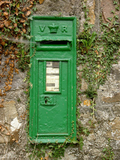 post boxpost box · 1.4 mi
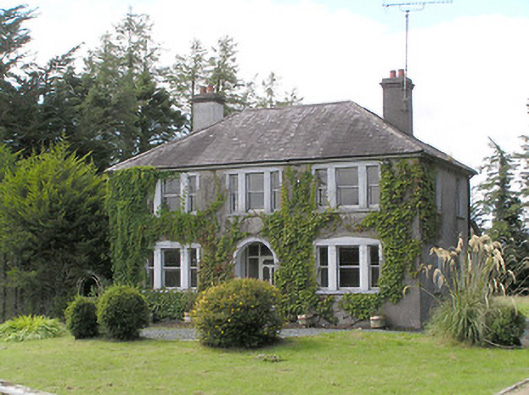 Saint Helen'shouse · 1.6 mi
 Man-made underground passage in BundoonMan-made underground passage · 1.8 mi
 Common LimeCommon Lime · 3.1 mi
 Pedunculate OakPedunculate Oak · 3.2 mi
 CastleforbesCastle · 3.3 mi
 Saint Mel's CathedralCathedral · 4.7 mi
 Long IslandIslet · 4.7 mi
 First World War MemorialMemorial · 4.8 mi
 St. Barry's WellSpring · 4.9 mi
Other information
Photo: Credit not shown in the picture search · Rights wording not checked; contact us if this picture should be removed