
What is recorded here
Indicated is a fairy fort on a flat Kilkenny ridge where a low earthen bank still surrounds a circular space wide enough for a small household or a dozen dancing people. The round tower at Grangefertagh stands distant to the east, while whorls of whitethorn, scrub and bramble fill the ring like a room nobody has left but nobody will admit. Its stones protrude in the north-west and a shallow ditch may still mark the south-west, as if the fort resisted being forgotten even after fields and boundaries took part of it.
On a flat N-S ridge in rolling grassland. The round tower at Grangefertagh (KK008-047004-) is visible c. 2.5km to the E. A roughly circular area (int. diam. c. 28m) enclosed by a wide, low, earthen bank (Wth at base 5.4m; int. H 0.89m; ext H 1.11m). From NE to SSW the bank is incorporated into a field boundary and has been augmented. Portion of the interior at SE is raised and defined by a low scarp running NE-SSW. In the NW quadrant the bank is well preserved with a high concentration of stone protruding. A depression (L 10m; Wth 3m; D 0.33m) at the external base of the fosse at SSW may be evidence of a fosse and is not visible elsewhere. Possible stone-facing occurs at W. Whitethorn, scrub and brambles grow in the interior and all round the bank. A Man-made underground passage (KK008-128----) lies c. 200m to the NW.
Compiled by: Mary Tunney
Date of upload: 7 February 2012
The monument record does not grant public access. Check the route and ask the landowner before entering private land.
- What survives
- Recorded monument
Places near here
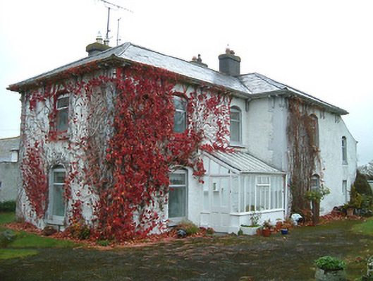 Tullanvoolty Housefarm house · 932 yd
 Enclosure in BallyellisEnclosure · 1289 yd
 Enclosure in TullanvooltyEnclosure · 1514 yd
 Saint Michael's Catholic Churchchurch/chapel · 1603 yd
 Foulkscourt castle (in ruins)Castle, tower house · 1.1 mi
 Grangefertagh Castle (site)Archaeological place · 1.2 mi
 Cnoc SeanrathaMemorial · 1.6 mi
 DelaneyMemorial · 2.2 mi
 Street fieldArchaeological place · 2.9 mi
 Clomantagh HillMountain / peak · 4.0 mi
 Clonmeen WoodWood · 5.7 mi
 St. Mary's Famine and War MuseumMuseum · 11 mi
Other information
Photo: Credit not shown in the picture search · Rights wording not checked; contact us if this picture should be removed