
What is recorded here
In marshy land on the flood plain of the River Goul which flows 220m to the SE, in rolling grassland. There are good views in all directions. A small enclosure (diam. c. 16m) is indicated on the 1st (1839) ed. OS 6-inch map, it is not depicted on the subsequent 1900 ed. which suggests it was levelled between 1839 and 1900. The monument is not visible at ground level.
Compiled by: Jean Farrelly
Date of upload: 25 October 2017
The monument record does not grant public access. Check the route and ask the landowner before entering private land.
- What survives
- Recorded monument
Places near here
 Foulkscourt castle (in ruins)Castle, tower house · 630 yd
 Enclosure in TullanvooltyEnclosure · 635 yd
 IndicatedBawn · 649 yd
 Enclosure in FoulkscourtEnclosure · 721 yd
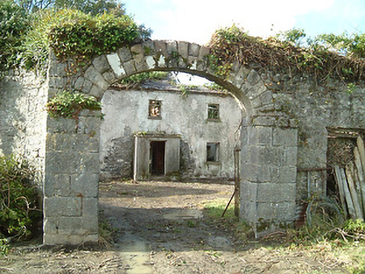 Foulkscourt Housefarmyard complex · 723 yd
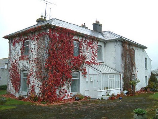 Tullanvoolty Housefarm house · 1085 yd
 DelaneyMemorial · 1.5 mi
 John HelyMemorial · 1.7 mi
 Street fieldArchaeological place · 3.1 mi
 Clomantagh HillMountain / peak · 3.5 mi
 Clonmeen WoodWood · 6.3 mi
 St. Mary's Famine and War MuseumMuseum · 11 mi
Other information
Photo: Credit not shown in the picture search · Rights wording not checked; contact us if this picture should be removed