
What is recorded here
In poor, wet pasture, c. 135m S of the River Goul. A roughly oval area (dims. 25m N-S; 34m E) defined by a bank (Wth c. 3m; int. H 1.4m; ext. H c. 2m), fosse (Wth 3.5-5m; D 1.8m) and outer bank (Wth 3.5m; ext. H 0.8-1m). The fosse and outer bank are not visible in the E quadrant. The interior is slightly saucer-shaped and slopes down to the E by c. 1m. On the 1st (1839) ed. 6-inch OS the monument is indicated as a tear-drop shaped, aligned E-W. On the subsequent 1900 ed. a field boundary runs E-W from the road immediately W of the monument and joins the S bank of the monument. The W quadrant of the monument is delineated by a curving dashed line. On the ground the area between the dashed line and the road forms an area (dims. c. 15m N-S; 14m E-W) c. 1m lower than the enclosure to the E, this area is truncated by the road and is delineated by a bank (Wth 3m; H 1m) which runs into the inner bank of the N side of the enclosure. Immediately S of this area there is another area of similar dimensions which is also c. 1m below the enclosure. This may be the result of quarrying. The monument was heavily overgrown when inspected in 1987.
Compiled by: Jean Farrelly
Date of upload: 25 October 2017
The monument record does not grant public access. Check the route and ask the landowner before entering private land.
- What survives
- Recorded monument
Places near here
 Enclosure in BallyellisEnclosure · 635 yd
 Enclosure in FoulkscourtEnclosure · 803 yd
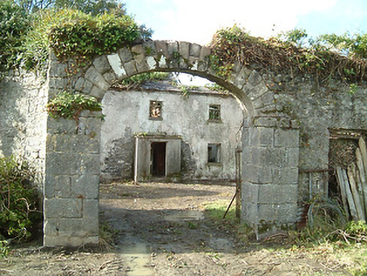 Foulkscourt Housefarmyard complex · 843 yd
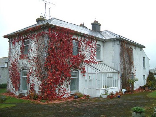 Tullanvoolty Housefarm house · 864 yd
 Foulkscourt castle (in ruins)Castle, tower house · 925 yd
 IndicatedBawn · 932 yd
 DelaneyMemorial · 1.3 mi
 John HelyMemorial · 1.5 mi
 Street fieldArchaeological place · 2.8 mi
 Clomantagh HillMountain / peak · 3.2 mi
 Anker's IslandIsland · 9.6 mi
 European ashEuropean ash · 11 mi
Other information
Photo: Credit not shown in the picture search · Rights wording not checked; contact us if this picture should be removed