What is recorded here
Marked faintly as a circular enclosure (diam. c. 30-35m) containing the site of Templeboy church (WX044-014001-) on the 1839 ed. of the OS 6 inch map, and situated on a slight SE-facing slope. There are no visible remains of a structure, burial or enclosure at ground level in a grass and scrub-covered area. Battlestown castle site (WX045-025----) is c. 700m to the E.
Compiled by: Michael Moore
Date of upload: 17 June, 2013
From the National Monuments Service (Archaeological Survey of Ireland) record WX044-014002
Places near here
Photo credits
- National Inventory of Architectural Heritage
- A.-K. D., Wikimedia Commons · CC BY-SA 4.0
- Gfox228, Wikimedia Commons · CC BY 3.0
- P L Chadwick, Geograph · CC BY-SA 2.0
- Julie Anne Workman, Wikimedia Commons · CC BY-SA 3.0
- Paul O'Farrell, Geograph · CC BY-SA 2.0
- Andreas F. Borchert, Wikimedia Commons · CC BY-SA 4.0
- Alanna Milbourne, Wikimedia Commons · CC BY-SA 4.0
- Redmond O'Brien, Geograph · CC BY-SA 2.0
- Colin Park, Geograph · CC BY-SA 2.0
 Clonlard HouseFarm house · 1.4 mi
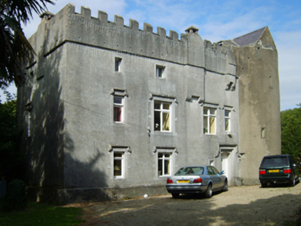 Dungulph CastleCastle/fortified house · 1.5 mi
 Lady WellHoly well · 1.9 mi
 DuncannonBeach / strand · 2.2 mi
 Duncannon BeachVisitor information · 2.3 mi
 Common Whitebeam2.4 mi
 Grange BeachBeach / strand · 3.0 mi
 Fethard CastleCastle, hall-house · 3.2 mi
 Hook Tourism (Fethard Office)Visitor information · 3.3 mi
 Ballyhack Castle (in ruins)Castle, tower house · 3.7 mi
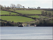 Nook BayBay · 4.4 mi
 Campile WWII Bombing MemorialMemorial · 4.4 mi
More archaeology and monuments in County Wexford · All of County Wexford

What do you know about this place?Tap to add a comment or ask a question