What is recorded here
Identified as the cropmark of a rectangular enclosure (overall dims. c. 57m NW-SE; c. 43m NE-SW), defined by two closely spaced fosses, visible on an aerial photograph (CUCAP BGH011, 16 July 1971). On the 1st (1839) ed. OS 6-inch map and the 1900 revision this enclosure is indicated as a small field associated with a farm house and yard. The field had been levelled by 1968 and on satellite imagery (Google Earth imagery date 8 June 2005) the farm buildings and all the associated field boundaries had been removed by 2005 and are now within a large tillage field. The presence of two fosses defining this enclosure suggest that it was not an ordinary field or paddock but that it may be a monument.
See attached:
KK025-014----_01 aerial photograph (CUCAP BGH011, 16 July 1971)
Compiled by: Jean Farrelly
Date of upload: 28 February 2022
A local fairy fort (ringfort/rath); wider significance not recorded.
The monument record does not grant public access. Check the route and ask the landowner before entering private land.
- What survives
- Recorded monument
Places near here
 IndicatedEnclosure · 539 yd
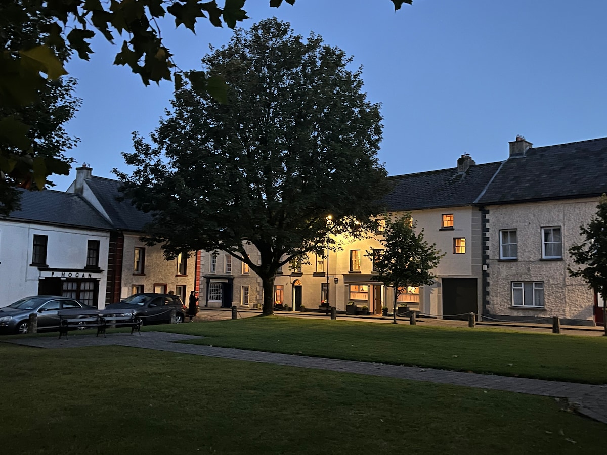 Not indciatedEnclosure · 587 yd
 MonasteryReligious house, unclassified · 605 yd
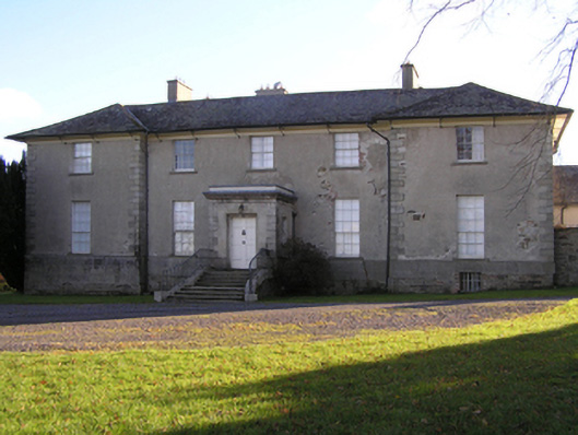 Barrowmount Housecountry house · 877 yd
 Drumroe Castle (ruins)Castle · 1539 yd
 CastleCastle, motte · 1641 yd
 Tinnakeenly BogForest · 2.1 mi
 The bogForest · 2.3 mi
 The Barrow WayVisitor information · 5.1 mi
 The PoundMemorial · 5.2 mi
 Kilcullaun Church (in ruins), GraveyardChurch · 5.8 mi
 Tullaherin Church and Round TowerVisitor information · 6.1 mi